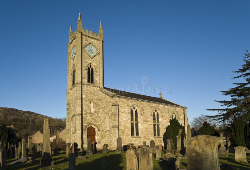
Add your own picture and explain the route, parking, gates, paths or landmarks that help people find it.
Earn 5 points after the picture is checked and accepted.
Add your photo and local directionsShare what you foundWhat is recorded here
Kilpatrick Church stands in the N quadrant of an oval-shaped graveyard (WM013-002001-) defined by a 19th century wall with site of Kilpatrick Castle (WM013-001----) 190m to NNW. The townland of Kilpatrick was also known as Dorsankill as recorded in 1632 (Cal. inq. post mortem, 76 Car. 1). This multi-period fortified church is situated on top of high ground, with good extensive views of the surrounding countryside in all directions. A large quarry hole is located immediately to the NW of the graveyard and the upcast from the quarrying has formed an earthwork around the edge of the quarry. The curving earthwork of a post-medieval road can be seen in the field to the N of the church and graveyard (CUCAP BGH097/98). This earthwork represents the remains of a roadway used by carts transporting quarried stone from the quarry down to the public road to the NW of the church and graveyard. It is likely that this quarry was used in the medieval period to supply stone for the construction of the church.
Known locally as ‘Kilpatrick Old Church’ this medieval church was mentioned in 1391 when a papal letter was sent to ‘Thomas Andrew. Provision of the perpetual vicarage of Kylpatryk [Kilpatrick], in the diocese of Meath, value 12 marks, void by the resignation of Richard Rowe’ (Cal. papal letters, 414). In 1518 the church of Kilpatrick was referred to as the church of ‘Dorsykyll’ or ‘dorsyngkyl’ (Scott 2008, 334, 339). In 1864 George Du Noyer painted a watercolour of the N face of Kilpatrick church showing the stairs turret on the NW angle of the church (Du Noyer Sketches VI (45), Royal Irish Academy). The main doorway into the nave is clearly depicted while the N wall of the ruinous NW angle tower is shown rising above the stone vaulted roof of the nave, the low poorly preserved N wall of the chancel is shown standing several courses high. No graveyard wall is shown on this illustration which suggests that the graveyard wall was constructed some time after 1864. The watercolour sketch of the church and its ground plan can be viewed online on the Prints & Drawings Catalogue of the Royal Irish Academy at www.ria.ie/Library/Catalogue.
Present remains consist of the ivy-clad ruins of a poorly preserved nave (int. dims. 7.15m E-W; 6.2m N-S; wall T 1.5m) and possible chancel (int. dims. 3.53m E-W; 6.24m N-S; wall T 0.9m) church, the nave of which has been converted into a three storey high residential tower house in the 15th or 16th century. A similar conversion occurred to the church at Clonarney (WM009-034001-) Co. Westmeath where the W end of the church was converted into a residential building. Only the lower wall courses of the N and S walls of the possible chancel survive, while most of the E wall has collapsed. The masonry of the chancel differs from that of the nave and the walls are thinner which suggests that this chancel may not be contemporaneous with the latter. The poor preservation of the walls makes it difficult to be certain but it is possible that the structure at the E end of the nave was not built as a chancel but as a later burial enclosure for local families. The interior of the possible chancel has been used as a place of burial in the post medieval period and there is a large 18th or 19th century table top tomb in the centre of the chancel. Originally Kilpatrick church may have been built as a single cell undivided church which was divided into a nave and chancel church in the 15th century or later. The interior of the nave has also been used in the post medieval period as a place of burial. A marble wall memorial dedicated to the Salmon family of Rickardstown House dating from 1901 has been inserted into the internal E face of the W wall of the nave. An earlier site report in 1981 carried out by the Archaeological Survey of Ireland described the remains of ‘a bullaun stone (WM013-002003-) 6.5m to the S of the church and portion of a very fine stone cross (WM013-002002-) and base immediately to E end of chancel’ (SMR File 1981). No remains of this bullaun stone or the upper portion of the cross could be located at time of visit. The fortified church at Kilpatrick has been compared by Leask (1960, 21) to St. Munna’s fortified church (WM012-076----) at Taghmon which is 4km to the SW.
The nave of the church appears to have been converted into a three storey high residential tower house. A projecting angle tower (wall T 0.46m) containing a spiral stairs (int. diam. 1.8m) on the NW angle of the nave gave access to the first and second floor level chambers of this tower. The floor levels of this church appear to have been altered when the W end of the church was converted into a three storey tower. A row of four large square-shaped beam holes the line of which cuts across the window embrasure of the S window can be seen in the N face of the S wall. Above these beam holes there are a row of stone corbels c. 3.05m above the present level of the ground floor which respect the head of the S window embrasure and appear to have supported the wooden first floor over the nave. The line of the square beam holes cuts across the top of the S window embrasure and may be the remains of an earlier floor which predates the windows and the stone vaulted roof over the first floor.
The converted nave of the church is entered through a round-headed roughly hammer dressed doorway (Wth 1m) located off centre to W in the N wall. Immediately inside the doorway on the E splay of the embrasure are the remains of a drawbar slot (L 1.6m; Wth 0.16m x H 0.2m) running through the centre of the N wall. The dividing wall between the nave and chancel is not bonded into the N and S wall of the nave and appears to have been secondary insertion. This cross-wall (wall T 0.85m) contains a pointed chancel arch (Wth 2m; H 1.8m) with the remains of a blocked openings possibly wall cupboards (Wth 0.9m) visible in the W face of this wall to the N and S of the chancel arch opening. It is not clear of these blocked openings represent the remains of blocked up wall cupboards or whether they were window embrasures. A ground plan of the church drawn by George Du Noyer in 1864 depicts these niches as small wall cupboards. However on the ivy-covered E face there are traces of possible voussoirs of these arches suggesting that they may have been openings. The footings of a robbed out wall can be seen running across the floor of the chancel arch opening suggesting that this archway was once blocked up. The remains of an ivy-covered single light ogee-cusped headed window (Wth 0.4m) with hollowed incised spandrels and square-headed hood moulding is located off centre to E in S wall of nave. Iron bar holes and a glazing groove can be seen on the window jambs. This window is the only window providing light to the ground floor of the nave. At first floor there is a similar ivy-covered window in the centre of the W wall providing the only source of light to the first floor of the nave. Either side of the first floor window embrasure in the E face are the remains of square-shaped beam holes. Above this window on the external W facing wall there is a carved head now invisible due to the thick cover of ivy. The carved head was described in 1981 as following: ‘the head above the west window was uncovered from beneath its mantle of ivy. It is not a sophisticated piece of sculpture but has an eerie feel to it, like one of the cadaver figures. It is keyed into the wall immediately above the window. It has protuberant cheeks, eyes and an open mouth, but no trace of a nose’ (SMR File 1981). A broken out doorway in the NW angle of the ground floor of the nave gives access to the spiral stairs from which the first and second floors of the tower were accessed. Narrow vertical slit opes provide light for the stairs at ground and first floor levels. The stone vaulted first floor was entered through a square-headed hammer dressed doorway accessed of the spiral stairs i
The monument record does not grant public access. Check the route and ask the landowner before entering private land.