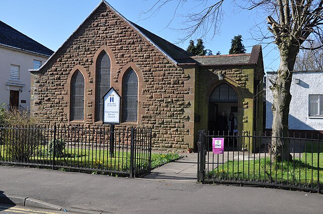
Add your own picture and explain the route, parking, gates, paths or landmarks that help people find it.
Earn 5 points after the picture is checked and accepted.
Add your photo and local directionsShare what you foundWhat is recorded here
Situated on marshy land. Holy Well (WM012-029---) dedicated to St. Michael 50m to NW. Depicted on the 1837 ed. OS 6-inch map and annotated as ‘Toberslauntia’ (well of health). This well (approx. diam. 1.5m) is enclosed by dry-stone wall. The water flows out into a short drain (L 4m) which eventually empties into a stream. There are no known religious associations. Local information suggests that an inscribed dripstone was removed from this well and taken to Multyfarnham Abbey (WM006-058----).
Compiled by: Frank Coyne and Caimin O'Brien
Date of upload: 13 December 2017
The monument record does not grant public access. Check the route and ask the landowner before entering private land.