Add your own picture and explain the route, parking, gates, paths or landmarks that help people find it.
Earn 5 points after the picture is checked and accepted.
Add your photo and local directionsShare what you foundWhat is recorded here
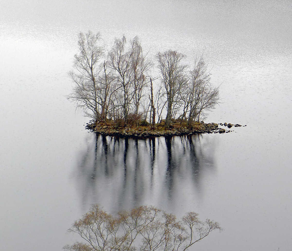
This crannóg was described by O'Sullivan (2004, 62-3) as following; 'Located mid-way down the lake, on the W shore. It has very good views to the N, E and SE. It is overlooked by steeply rising slopes 70m to WSW. The present shoreline is 15m to the NE, the ancient shoreline is 51m to the SW. A low, oval-shaped cairn (dims. 9.5m N-S x 7.5m E-W; H 1m) of stone, situated on the level, marshy foreshore. Originally, it would have been located in 1-2m water and is depicted as an islet in water on second edition OS maps. The cairn appears to be situated on a local, slightly raised natural ridge running NW/SE, parallel with the water’s edge. The cairn has a flat, level upper surface. It slopes steeply down to the shore on east and west sides, and is more gradually sloping on N and S sides. There is a possible defining stone kerb of large boulders (50-60cm) at the NE edge, facing out into the lake. The cairn is constructed of medium-sized, angular and water-rolled limestone blocks (50cm in length, 20cm thickness) and small stones. A well-constructed duck-hide is located in the NE sector. The cairn is overgrown by weeds and brambles. This is an unusual site, being a small cairn, originally built in shallow water. Interestingly, there is a small, high-cairn crannóg 800m to the NE, directly across the lake at Faughalstown (WM007-128----). It is possible that these two sites functioned as markers for a crossing point of the lake'. (O'Sullivan et. al. 2007, 117-8)
Compiled by: Caimin O'Brien based on details provided by Aidan O'Sullivan.
Date of upload: 6 March 2017
The monument record does not grant public access. Check the route and ask the landowner before entering private land.