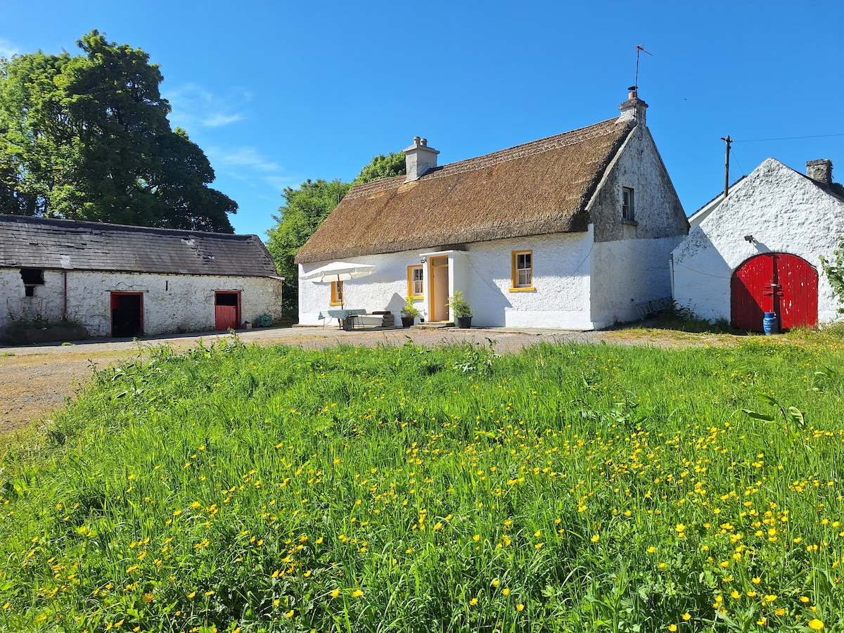
Add your own picture and explain the route, parking, gates, paths or landmarks that help people find it.
Earn 5 points after the picture is checked and accepted.
Add your photo and local directionsShare what you foundWhat is recorded here
Two medieval castles at Ballinalack stood beside the fording point of the Inny River. The terrier of the 1659 Down Survey parish map of Leny recorded that ‘there are in this parish six castles vizt. at Rathbennett (WM011-060----), Farrow (WM011-055----) Cullanhue (WM011-007----) Ballinafid (WM011-077----) each one & at Ballinilack two castles (WM006-048----/-049----)’ (NLI, MS 723-4). The OS Fair Plan of 1837 marks a small rectilinear building standing in the E quadrant of a sub-rectilinear enclosure possibly a walled area or a bawn. A mound or hillock which has been scarped marks the site of this levelled structure. This structure was located between 'The Bridge House' and the Inny River and to NNE of Ballinalack Bridge. Monument inspected in 1983 and described as, 'no trace of a castle could be found nor any mound etc. to indicate its probable location. The area has been covered by debris from the Inny drainage scheme which may have obscured any wall footings etc. in the vicinity' (SMR file). Earthworks surveyed in 2012 and described by McGuinness (2012, 41) as following: ‘There is a raised and flattened, irregular shaped area of ground here, much better defined on N side than S, but no discrete mound is visible, certainly nothing that could be classified as a burial monument'. A rise of ground or a hillock which has been modified with some stone protruding from the top of the hill may mark the site of one of the castles depicted on the Down Survey maps.
The earthworks in the field may represent the remains of one of the medieval castles of Ballinalack that are depicted on the 1659 Down Survey map of Leny Parish where it is shown standing beside the medieval bridge (WM006-075---) and adjacent to a second castle (WM006-049----) (NLI MS 723-4). The terrier of the 1659 Down Survey map of Leny parish recorded there was at 'Ballinilack two Castles & a Bridge upon the River Ighny' (ibid.). The two castles protected the bridge which traversed the River Inny and was situated along an important medieval routeway connecting the medieval towns of Mullingar and Longford. The cartographic evidence would suggest that one of the castles was located on the N side of the routeway or road crossing the bridge with the second castle located on the S side of the road. The building marked on the OS 25 inch map as 'The Bridge House' may have been one of these castles (WM006-049----) while the earthwork in the field to the NW may be the remains of the second castle.
Compiled and revised by: Caimin O’Brien
Date of revised upload: 20 July 2017
The monument record does not grant public access. Check the route and ask the landowner before entering private land.