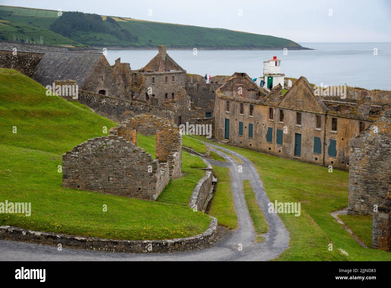
Add your own picture and explain the route, parking, gates, paths or landmarks that help people find it.
Earn 5 points after the picture is checked and accepted.
Add your photo and local directionsShare what you foundWhat is recorded here
Situated on flat reclaimed pasture-land immediately E of a stream which marks the boundary with County Longford, poorly drained land to the N, S & W, with good views of the surrounding countryside. The stream runs around the W side of the monument forming a defensive feature. A circular raised platform (approx. diam. 14m; approx. H 3m) defined by a slight poorly preserved earthen bank, best visible from SW-W-N. Fir trees have been planted on the bank, and it appears that the bank was modified at the time of the tree planting. No trace of an external fosse. At S & SE modern farm buildings encroach on the site. The raised interior slopes slightly towards the centre. Local information suggests that there is a souterrain at this site. A depression in the interior may indicate the location of this feature. According to local tradition there was a hole in the centre of the platform with stone steps or stairs leading down into the hole. At ESE a trench has been cut through the side and upper edge of the platform, in modern times a gateway was erected at its lower end. The depression in the top of the platform may be due to the collapse of a substructure. Classification of this monument is difficult and it is possible that it could be the remains of a raised rath rather than an Anglo-Norman motte castle.
Compiled by: Frank Coyne & Caimin O'Brien
Date of upload: 13 December 2016
The monument record does not grant public access. Check the route and ask the landowner before entering private land.