Add your own picture and explain the route, parking, gates, paths or landmarks that help people find it.
Earn 5 points after the picture is checked and accepted.
Add your photo and local directionsShare what you foundWhat is recorded here
Depicted as a tower house type castle in the townland of Ballintullagh [Tullystown] on the 1657 Down Survey map of Fore Barony (NLI, MS 723-4). The terrier of the 1657 Down Survey recorded that the owner of the castle and lands of Ballintullagh [Tullystown] in 1641 was James Nugent who is listed as an English Protestant (ibid.).
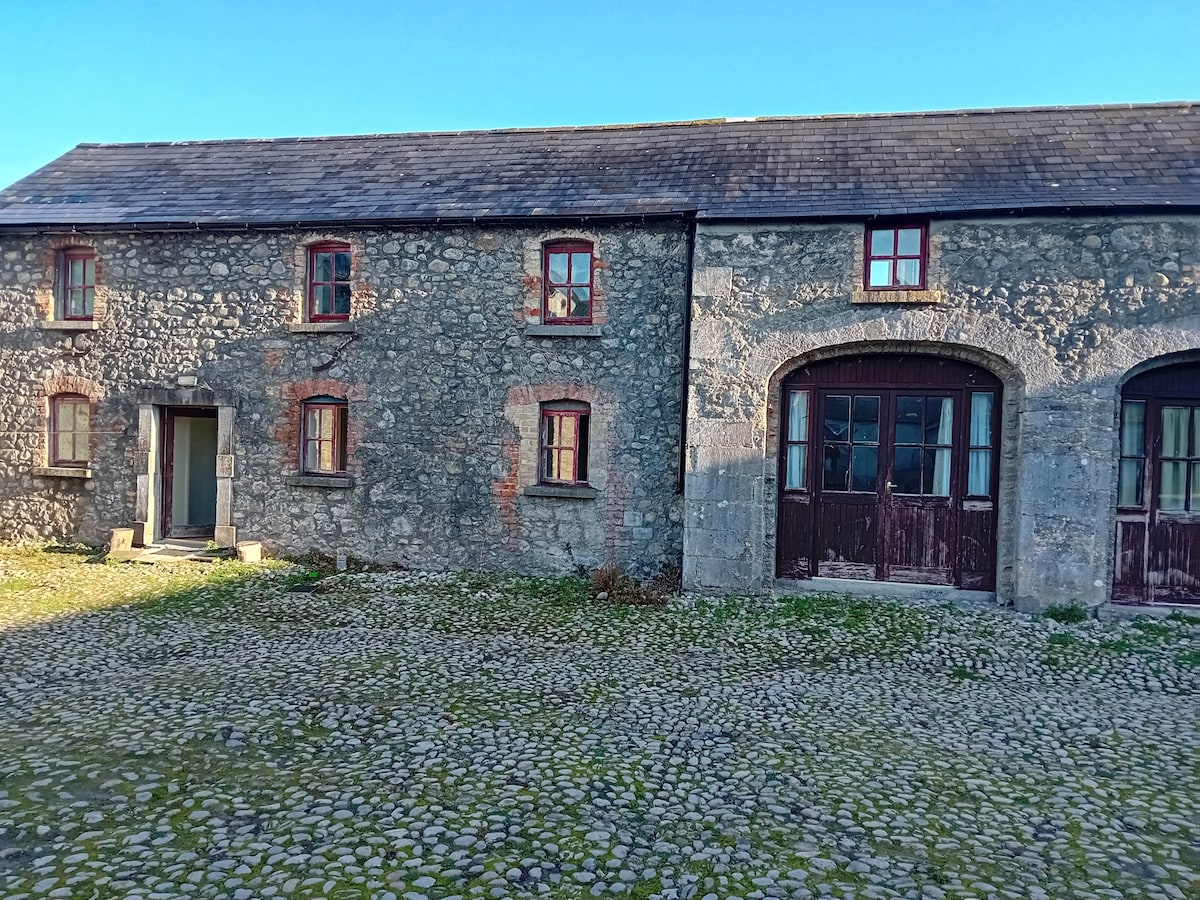
The remains of a poorly preserved rectangular-shaped tower house (WM001-014----) survives in the farmyard to the S of Tullystown House. To the W of the tower house a walled enclosure (approx. dims. 60m E-W x 62m N-S) has been used as a walled garden of 19th century date. The wall has been repaired in places and this appears to be 19th century work & a gateway inserted in the north wall. Part of this garden wall appears to be older than the 19th century and may be the remains of a bawn wall contemporaneous with the tower house. A second enclosure (dims. 40m N-S x 110m E-W) to the S and SE of the tower house also has ancient walls which again were repaired in 19th century with a range of 19th century farm buildings built up against the N side of the wall. Fragments of dressed stone work occur in several of the farm buildings & a square-headed slit window of 15th or 16th century style has been re-used in one of the farm buildings.
Compiled by: Frank Coyne and Caimin O'Brien
Date of upload: 16 November 2016
The monument record does not grant public access. Check the route and ask the landowner before entering private land.