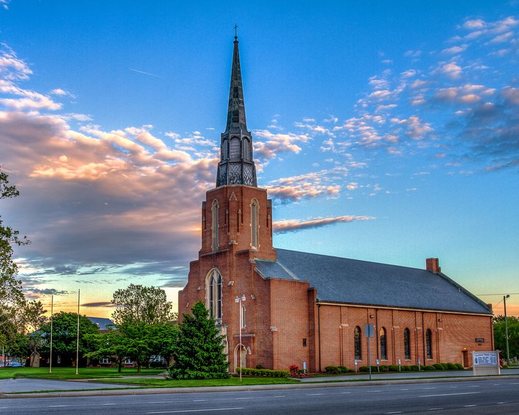
Add your own picture and explain the route, parking, gates, paths or landmarks that help people find it.
Earn 5 points after the picture is checked and accepted.
Add your photo and local directionsShare what you foundWhat is recorded here
Situated on the NE edge of a ridge on level ground with a short steep drop to the N and E. According to Price (1946, 90-91) this is an early ecclesiastical church and enclosure (WI043-009003-), and was also the site of the parish church of Kilcommon (in Ferns diocese) as it is so named on a map by Neville dated 1760 (pers. comm. Conchubhar Ó Crualaoich). This church was called Cill Chomáin by Irish speakers in the 19th century rather than the graveyard at Kyle (WI033-020----) at the N edge of the parish (OSL 141-4). Comán was a son of Faolchú and is reliably connected with the Dál nAraidhe of north-east Ulster. He died in 747 and his feastday is celebrated on 26th December. The 'law of St Comán' was proclaimed over much of Connaught in 771, 779 and 792, and he is most associated with his monastic foundation (RO039-043006-), now in Roscommon town (Ó Rian 2011, 216-7).
A ruined early nineteenth-century structure with no surviving evidence of an earlier church. A cylindrical block of granite mentioned by Price (1946, 90) lies just outside the SW corner of the church and there are some other miscellaneous architectural fragments. The graveyard contains a large number of mid-eighteenth-century headstones. The church and graveyard lie just S of the centre of a large oval enclosure (dims. 100m N-S; c. 65m E-W) defined at the E and W by an earthen bank (Wth 3m; H 2m) with drystone facing. No indication of a fosse. There may have been an entrance at the NW where the enclosure is approached by a raised path between two ditches.
The above description is derived from the published 'Archaeological Inventory of County Wicklow' (Dublin: Stationery Office, 1997). In certain instances the entries have been revised and updated in the light of recent research.
Compiled by: Michael Moore
Date of revised upload: 11 November 2015
The monument record does not grant public access. Check the route and ask the landowner before entering private land.