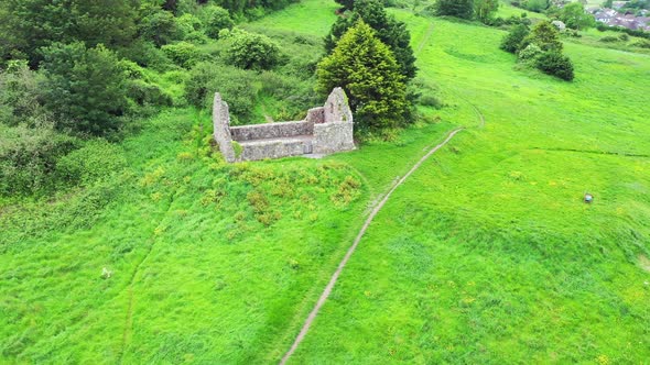
Add your own picture and explain the route, parking, gates, paths or landmarks that help people find it.
Earn 5 points after the picture is checked and accepted.
Add your photo and local directionsShare what you foundWhat is recorded here
Situated towards the SE edge of a slight ridge. There are no visible traces of the church or graveyard. Slight traces of a scarp mark the edge of the oval enclosure (dims. 110m NE-SW; 90m NW-SE) shown encircling the site on the 1838 OS 6-inch map. In 1990 a roughly rectangular granite font was noted lying on the NE edge of the enclosure in a hedge beside the road and a possible cross-shaft with rectangular section and a boss or tenon at the top was noted lying at the SE beside a gateway. A field inspection in 2012 could not locate the font (WI042-013004-) or the cross-shaft (WI042-013004-), which may have been covered, bcome overgrown or have been moved. A granite cross-head lies c. 160m to the NW (WI042-012----).
The above description is derived from the published 'Archaeological Inventory of County Wicklow' (Dublin: Stationery Office, 1997). In certain instances the entries have been revised and updated in the light of recent research.
Compiled by: Jean Farrelly
Date of upload: 19 November 2012
This remains an important historical record, but the official description says the monument is no longer visible or has been destroyed.
The monument record does not grant public access. Check the route and ask the landowner before entering private land.