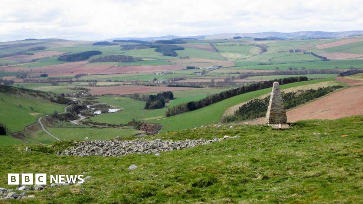
Add your own picture and explain the route, parking, gates, paths or landmarks that help people find it.
Earn 5 points after the picture is checked and accepted.
Add your photo and local directionsShare what you foundWhat is recorded here
Not marked on any edition of the OS maps, this possible hillfort was discovered from an analysis of LiDAR data by James O'Driscoll of UCC (O'Driscoll 2013). Situated on the S spur of Tuckmill Hill overlooking the town of Baltinglass 900m to the SW. Rathnagree hillfort (WI027-010----) 600m to N and Rathcoran hillfort (WI027-026001-) 380m to ENE. Outline of monument barely visible on Digital globe aerial photograph taken November 2011. Site consists of a sub-circular shaped area (approx. int. diam. 129m NE-SW; 152m NW-SE) enclosed by a low barely visible earthen bank (approx. Wth 4.5m; H 0.2m) which encompasses an area measuring c. 1.43 ha. There are indications of an internal ditch, visible as a shallow depression inside this bank. The geophysical survey carried out under consent no. 12R0042 revealed a 10m wide opening on the northern side of the enclosure. It may be an original entrance, but this remains to be confirmed. The E quadrant of the hillfort is crossed by a townland boundary running NE-SW, which comprises of an older wall of smaller stones now covered by boulders from recent field clearance. There are no features in the level interior of the enclosure, apart from a few large boulders. There are no obvious internal features visible in either the geophysical results or the LiDAR data. The entire site area was investigated by magnetic gradiometry survey in 2012, as part of a landscape study of the Baltinglass hillforts. In July 2015 an excavation under licence no. 15E0320 was conducted by Professor William O'Brien of University College Cork. This work was undertaken as part of a research project on prehistoric hillforts in Ireland, based in University College Cork with funding from the Irish Research Council. The investigation at Sruhaun involved a single excavation trench which was excavated across the enclosing element on the S side of the hillfort. This 8m by 2m trench was aligned NNE-SSW and cut across the line of the enclosing bank on the S side of the hillfort to the W of the townland boundary. Excavation confirmed the presence of two ditches directly inside the remains of a low bank of stones. There are indications of intense burning at the base of this bank, with samples of charcoal recovered for radiocarbon dating (results pending). There are no artifact finds from the excavation (O'Brien 2015, 1).
Compiled by: Paul Walsh
Revised by: Caimin O'Brien with details provided by Professor William O'Brien of UCC.
Date of revised upload: 27 January 2017
The monument record does not grant public access. Check the route and ask the landowner before entering private land.