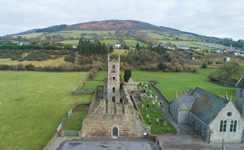
Add your own picture and explain the route, parking, gates, paths or landmarks that help people find it.
Earn 5 points after the picture is checked and accepted.
Add your photo and local directionsShare what you foundWhat is recorded here
Situated at the SW end of a narrow steep-sided ridge. Oval platform with a level summit (dims. 20m NNW-SSE; 14m NNE-SSW; H 2.5-4m), separated from the bailey at the SW by a fosse (Wth 3.5m; D 0.8m). The bailey is a level trapezoidal area (max. dims. 32m WNW-ESE; 15m NNE-SSW) defined by an earthen bank (Wth 5-6m; int. H 1m), and an external fosse (max. Wth 5m; D 1m) from SE-W-NW with a further outer bank (max. Wth 5.5m; H 1.7m) at the SW. This fosse, which also encloses the motte along the NE, merges into a berm at the NW and SE along the edges of the ridge. There is a causeway (Wth 2m) across the fosse at the NE extremity. The motte and bailey form one component of a series of earthworks which enclose and divide the ridge summit for a distance of 550m. These include banks along the edge of the ridge, and lateral banks dividing the ridge from NNW-SSE. The most significant are those c. 75m NE of the motte which consist of two banks, 20m apart, cutting the SW end of ridge off from remainder and creating an enclosure around the motte to which three access ramps ascend (from the SW, NW and SE). The SW bank has a central entrance gap (recently widened). A possible moated site (WI020-025----) occurs within the defenses towards the NE. (CUCAP, AIC 86, BGN 24)
The above description is derived from the published 'Archaeological Inventory of County Wicklow' (Dublin: Stationery Office, 1997). In certain instances the entries have been revised and updated in the light of recent research.
Date of upload/revision: 17 December 2008
This monument is subject to a preservation order made under the National Monuments Acts 1930 to 2014 (PO no. 99/1940).
The monument record does not grant public access. Check the route and ask the landowner before entering private land.