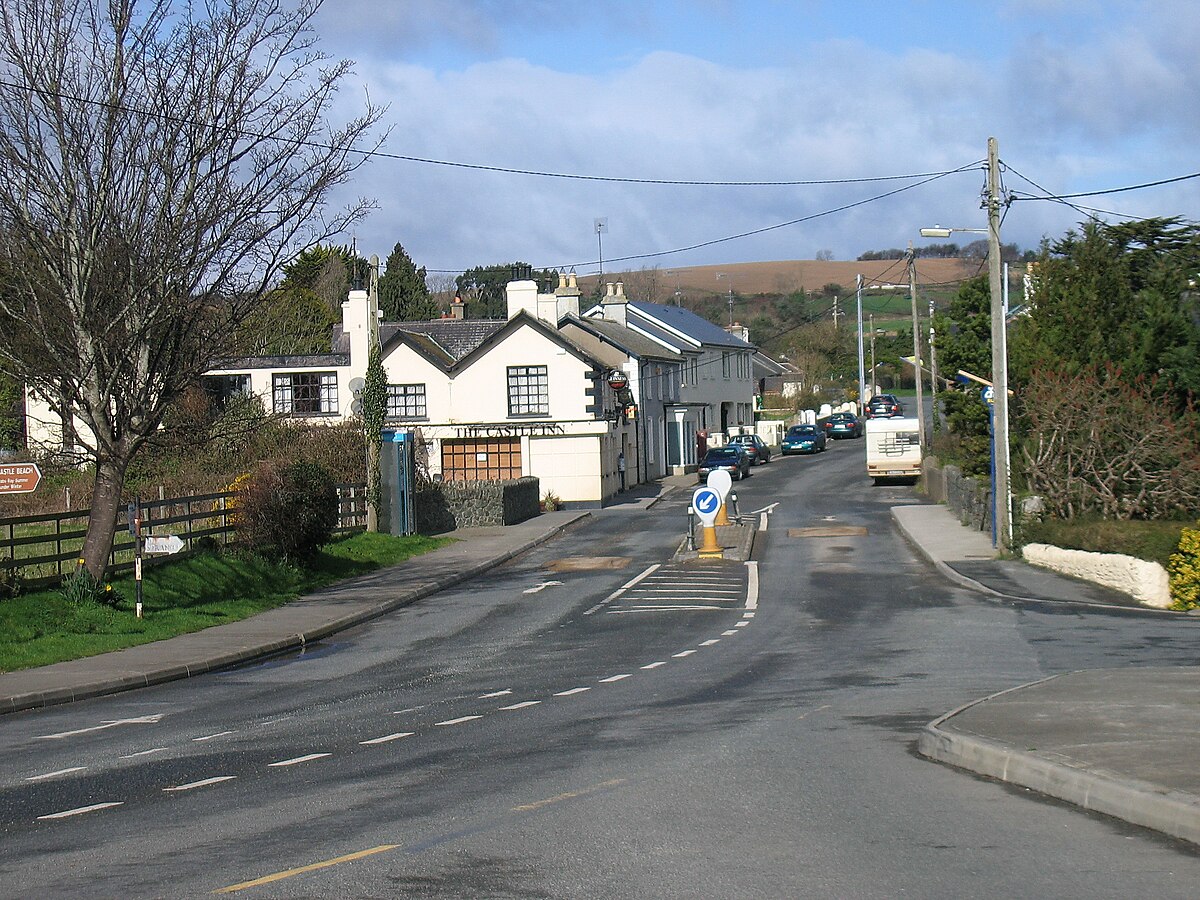
Add your own picture and explain the route, parking, gates, paths or landmarks that help people find it.
Earn 5 points after the picture is checked and accepted.
Add your photo and local directionsShare what you foundWhat is recorded here
On a very slight E-facing slope in an area of improved sheep pasture at the E edge of wet, marshy rough grazing land. Depicted on the OS 1st. edition map as a large oval enclosure (map dims. 100m NW-SE; 84m E-W). Not visible at ground level when inspected in 2006 and the field boundaries shown radiating off the monument at SE and SSW on both editions of the OS 6 inch map had also been removed.
Compiled by: Claire Breen
Date of upload: 13 February 2013
The monument record does not grant public access. Check the route and ask the landowner before entering private land.