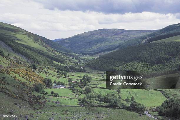
Add your own picture and explain the route, parking, gates, paths or landmarks that help people find it.
Earn 5 points after the picture is checked and accepted.
Add your photo and local directionsShare what you foundWhat is recorded here
Subcircular univallate hillfort (dims. c. 360m E-W; c. 220m N-S) part of which is depicted on the OS 6-inch map as a field boundary. The site encloses the summit of Downshill with steep slopes to the N, E and S and gentler slopes to the W and has a commanding position on the W edge of the Glen of the Downs. The summit is now covered in forestry and the only accessible surviving part of the rampart is along the SW side where it forms part of a field boundary which skirts the plantation. The earth and stone bank (Wth 4-5m; H 1.60m) has near vertical drystone facing (probably not original). The external fosse (Wth c. 4m) was also identified to the SE in the next field in 1989 during ploughing. The SE perimeter had apparently not survived.
In 2007 two test trenches were opened across the bank and fosse on the N and W sides as part of a research excavation carried out by UCD school of Archaeology (Excavation Licence 07E0596). No dateable artefacts were recovered. (O'Neill 2007, 3)
The hillfort was recently described in the Atlas of Hillforts of Britain and Ireland as following; 'Oval shaped partial contour fort surrounding the domed summit of Downshill. In commanding position at edge of the Glen of the Downs and overlooking the Wicklow coastline to the E. Coolagad hillfort (Atlas No.0719) positioned 2.8km to NE. Univallate for its entire circuit, it has a total footprint of approximately 6.7ha. There are no recorded entrance features. No evidence for any internal features on the surface. The ramparts have been damaged by recent forestry harvesting. Interior also severely damaged by deep ridge and furrow associated with tree felling. Earliest map detection in 1906 second edition Ordnance Survey mapping. Trial excavation of enclosing elements in 2007 by University College Dublin. No dateable artifacts were recovered. Partially extant but heavily affected by forestry in places. Forestry track truncating enclosing elements at E. Oval shaped partial contour fort surrounding the domed summit of Downshill. Steep slopes to N, E and S with gentler slopes to W (Grogan and Kilfeather 1997, 42). Hillfort rampart follows contours at N and W before running down slope at E and following a lower contour to the SW. In commanding position at edge of the Glen of the Downs and overlooking the Wicklow coastline to the E.' (http://hillforts.arch.ox.ac.uk/records/IR0720.html)
The above description is derived from the published 'Archaeological Inventory of County Wicklow' (Dublin: Stationery Office, 1997). In certain instances the entries have been revised and updated in the light of recent research.
Revised by: Caimin O'Brien
Date of revised upload: 7 February 2020
The monument record does not grant public access. Check the route and ask the landowner before entering private land.