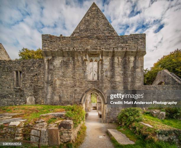
Add your own picture and explain the route, parking, gates, paths or landmarks that help people find it.
Earn 5 points after the picture is checked and accepted.
Add your photo and local directionsShare what you foundWhat is recorded here
Located towards the top of a N-facing slope. All the ecclesiastical features associated with the monastery of St. Declan at Ardmore are within a D-shaped area (dims. c. 200m N-S; c. 130m E-W) with the straight side at E where it backs on to the W side of a N-S ravine. The enclosure is defined by an earthen bank (Wth 13-18m; int. H 0.6-0.8m; ext. H 1-2m) and outer fosse (Wth of top 17m; Wth of base 5m; D 0.9m) W-N. The perimeter cannot be traced S-W but it may be represented by the S graveyard wall.
Archaeological testing outside the enclosure to the N (05E0841) by D. Noonan (2005) and NE (91E0002) by O. Scully (1991) failed to produce any related material, but excavation (98E0226) by J. Tierney (2002d) to the SE produced evidence of a midden and other features (WA040-026----).
Noonan, D. (2005) Archaeological testing at Ardmore, Co. Waterford. Unpublished report. the Archaeology Company.
Scully, O. (1991) Test pits, Ardmore, Co. Waterford. Unpublished report. Author.
Tierney, J. (2002d) Dysert. Adjacent to ecclesiastical site. In Bennett, (ed.) Excavations 2000: summary accounts of excavations in Ireland, 336, No. 991. Wordwell. Bray.
The above description is derived from the published 'Archaeological Inventory of County Waterford' (Dublin: Stationery Office, 1999). In certain instances the entries have been revised and updated in the light of recent research.
Compiled by: Michael Moore
Date of upload/revision: 20 October 2011
The monument record does not grant public access. Check the route and ask the landowner before entering private land.