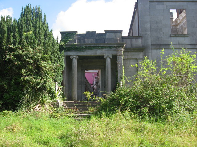
Add your own picture and explain the route, parking, gates, paths or landmarks that help people find it.
Earn 5 points after the picture is checked and accepted.
Add your photo and local directionsShare what you foundWhat is recorded here
In pasture. The enclosure is not indicated on the 1st ed. OS 6-inch map or subsequent revision, however a curvilinear field boundary, curving from W-N-NE, probably indicates the surviving upstanding bank which has become incorporated in a field boundary.
A roughly circular enclosure (overall diam. c. 46m) visible on LiDAR imagery (Open Topographic Data View, LiDAR Coverage TII Ireland), identified and reported by Muiris Wade. A field boundary, probably incorporating the bank of the enclosure, survives from W-N-NE. The E-SE-S portion of the bank is defined by a levelled bank or scarp, visible on satellite imagery (Tailte Éireann, 2013 to 2018 MapGenie and 2011-2013 Digital Globe).
Compiled by: Jean Farrelly
The monument record does not grant public access. Check the route and ask the landowner before entering private land.