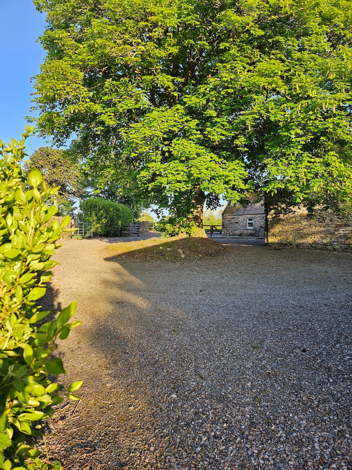
Add your own picture and explain the route, parking, gates, paths or landmarks that help people find it.
Earn 5 points after the picture is checked and accepted.
Add your photo and local directionsShare what you foundWhat is recorded here
Situated on low-lying ground on the N bank of a NE-SW stream at a point where it emerges onto mud-flats and c. 1.5 km E of the estuary of the Blackwater River. The name is derived from Ceann tSaile - the head of the tide (Power 1952, 95). Kinsalebeg was the only part of the manor of Inchiquin in Co. Waterford, most of it being in Cork. Possession of Inchiquin was frequently disputed, and an inquistion in 1348 suggests that Kinsalebeg may have had as many as 24 burgesses (O'Brien 1982, 23, map), establishing its status as a town. A ferry operated to Youghal, which was an essential communication link until Youghal bridge was built in 1830 (Lewis 1837, vol. 2, 726). It is uncertain if the settlement survived beyond 1400, and possession swayed between the earls of Ormond and Desmond in the later middle ages.
The location is uncertain but it probably centered on the castle and mill at Pilltown. The former is described as an 'old battered castle' with a large bawn in the Civil Survey (1654-6) which had been the property of Sir Nicholas Walsh of Ballykeeroge (WA023-035001-) in 1641, but had been mortaged to the Earl of Cork by the 1650s (Simington 1942, 30). The mill was worth £10 in a good year (ibid.). Only six inhabitants are retuned for Kinsalebeg in the 1659, and 59 for Pilltown (Pender 1939, 333), so it was effectively deserted. (Bradley et al. 1988, 60-5)
Bradley, J., Halpin, A. and King, H. (1989) Urban archaeology Survey of Waterford City and County, 2 vols. Unpublished report commissioned by the Office of Public Works.
Lewis, S. (1837) A topographical dictionary of Ireland. 2 vols. Lewis and Co. London.
O’Brien, A. F. (1982) The settlement of Imokilly and the formation and descent of the manor or Inchiquin, Co. Cork. JCHAS, 87, 21-6.
Pender, S. (1939) A census of Ireland c. 1659. Stationary Office. Dublin.
Power, Rev. P. (1952) The placenames of the Decies. (second ed.) Cork University Press.
Simington, R. C. (ed.) (1942) The Civil Survey AD 1654-1656, vi, the County of Waterford. Irish Manuscripts Commission. Dublin.
Compiled by: Michael Moore
Date of upload: 07 October 2011
The monument record does not grant public access. Check the route and ask the landowner before entering private land.