Add your own picture and explain the route, parking, gates, paths or landmarks that help people find it.
Earn 5 points after the picture is checked and accepted.
Add your photo and local directionsShare what you foundWhat is recorded here
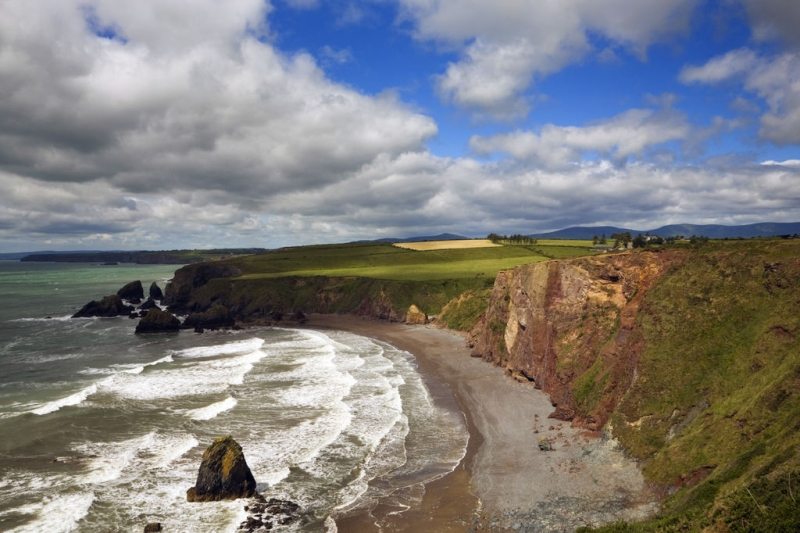
Identified by Markus Casey who described this monument as a low circular hut site (diam. 3.4m), close to the western edge of a small triangular S-facing promontory fort (WA032-043001-). The area is one of fertile pasture with an unimproved strip of ground along the shore. Sheer 100’ high cliffs surround the promontory fort. (Casey 2001)
Compiled by: Jean Farrelly
Date of upload: 24 November 2021
The monument record does not grant public access. Check the route and ask the landowner before entering private land.