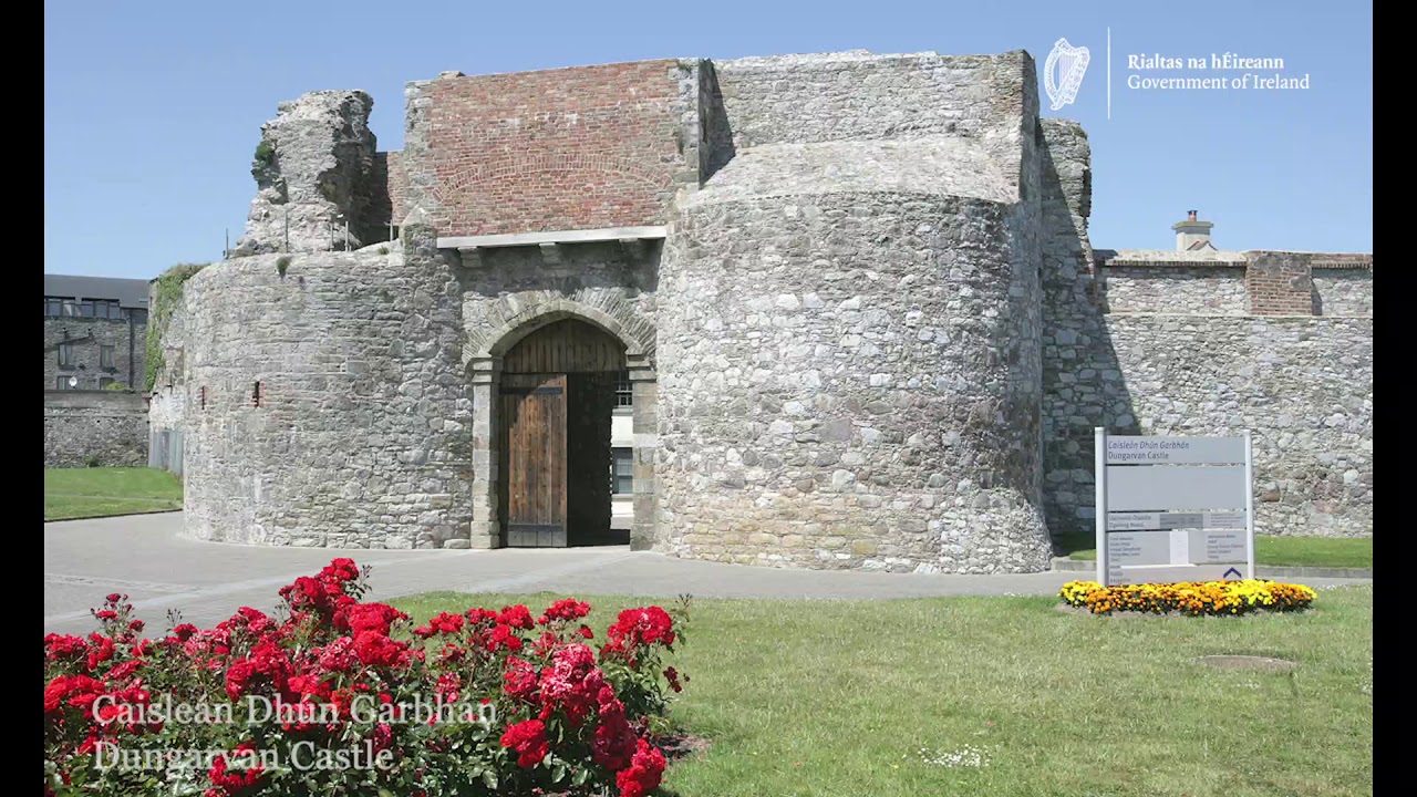
Add your own picture and explain the route, parking, gates, paths or landmarks that help people find it.
Earn 5 points after the picture is checked and accepted.
Add your photo and local directionsShare what you foundWhat is recorded here
Archaeological testing (98E0591) identified the foundations of a large 18th century building (ext. dims. c. 15m E-W; c. 7.5m N-S), the S wall of which at its E end overlay the S wall of an earlier building (L c. 4.5m) on a slightly different axis. Seventeenth century pottery was associated with the earlier wall, and there was a N-S stone-revetted field bank or property boundary (Wth c. 1m) just 3m to its W, with a ditch (Wth c. 2m; D c. 0.5m) on its W side, which the 18th century building overlay. (Pollock 1999a, 9-10; 2000c)
Pollock, D. (1999a) Archaeological investigations at Church Street/Parnell Street, Dungarvan, Co. Waterford (Licence 98E0591). Unpublished report, Author.
Pollock, D. (2000c) Church Street/Parnell Street, Dungarvan: Urban medieval/post-medieval. In I. Bennett (ed.) Excavations 1999. summary account of excavations in Ireland, 293, No. 845. Wordwell. Bray.
Compiled by: Michael Moore. Date of upload: 25th August, 2011.
The monument record does not grant public access. Check the route and ask the landowner before entering private land.