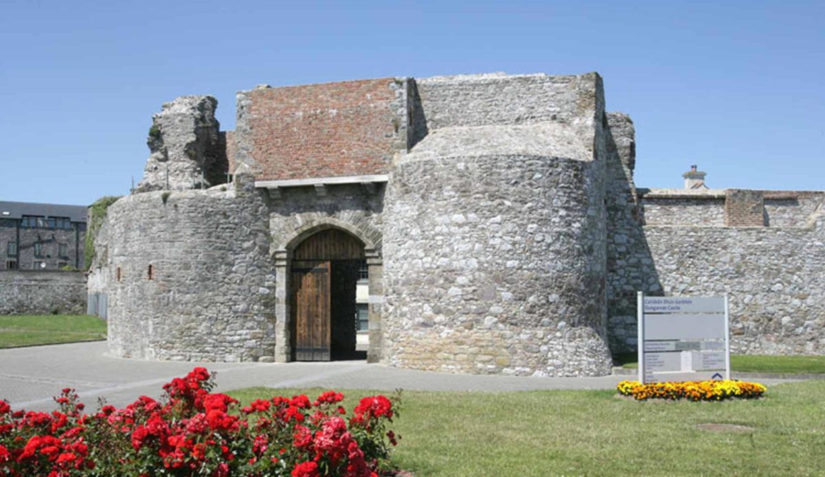
Add your own picture and explain the route, parking, gates, paths or landmarks that help people find it.
Earn 5 points after the picture is checked and accepted.
Add your photo and local directionsShare what you foundWhat is recorded here
Situated in deciduous woodland in a flat landscape. It is marked similarly on the 1840 and 1927 eds of the OS 6-inch maps. The OS Name Books record the remains of houses occupied by a family called Mullowney in the 18th century, as well as burials (WA030-044002-) which were found in an adjacent field during the construction of a field boundary. Nothing is visible at ground level.
The above description is derived from the published 'Archaeological Inventory of County Waterford' (Dublin: Stationery Office, 1999). In certain instances the entries have been revised and updated in the light of recent research.
Date of upload/revision: 11th August, 2011. Compiled by: Michael Moore.
The monument record does not grant public access. Check the route and ask the landowner before entering private land.