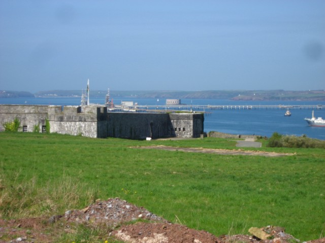
Add your own picture and explain the route, parking, gates, paths or landmarks that help people find it.
Earn 5 points after the picture is checked and accepted.
Add your photo and local directionsShare what you foundWhat is recorded here
Identified from an aerial survey by Markus Casey who described this monument as a large rectangular headland (L 90m; max. Wth 33m), flanked by a gully to the SE and by a blow-hole and cliff on the W which was cut off from the mainland by exploiting a natural cleft running along the E side. A fosse dug along the landward side leaving a causeway close to the blow-hole along the W completed the enclosure. A gentle rise on either side of the fosse and along the eastern gully suggests a former bank. A land commission earthen bank surrounds the headland, except along the E where it has recently collapsed into the sea. On the extremity of the headland is a small subsidiary promontory, which was in turn cut off by a low earthen bank and slight ditch across its narrow neck (Wth 7m). The area is one of undulating fertile overgrazed pasture with 100' cliffs. (Casey 2001)
Compiled by: Jean Farrelly
Date of upload: 24 November 2021
The monument record does not grant public access. Check the route and ask the landowner before entering private land.