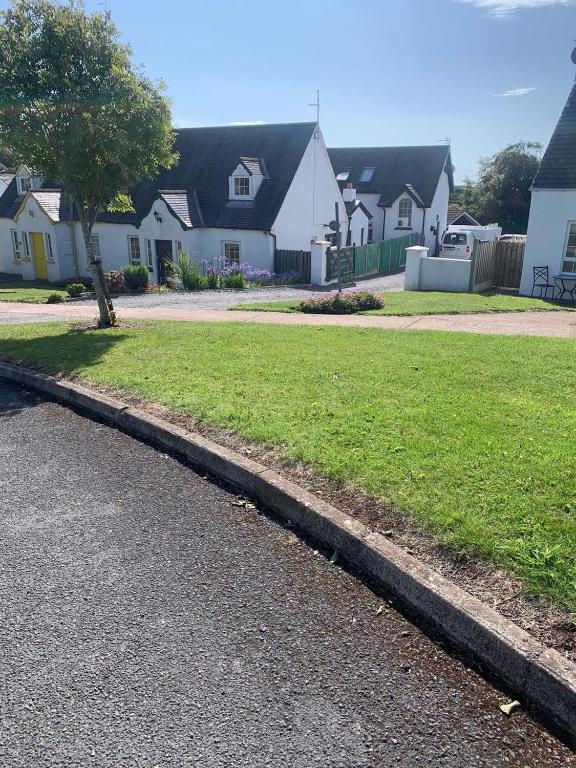
Add your own picture and explain the route, parking, gates, paths or landmarks that help people find it.
Earn 5 points after the picture is checked and accepted.
Add your photo and local directionsShare what you foundWhat is recorded here
Situated on a gentle S-facing slope at the head of a N-S valley leading to the sea at Dunmore Bay c. 1.2 km to the SSE. The fortified parish church of Killea (WA027-023001-), dedicated to St. Áed, is within a subrectangular graveyard (max. dims. c. 60m E-W; c. 35m N-S) defined by masonry walls on the W, N and E sides and a field bank at S. (Power 1890-1; Fewer 1996)
Power, Rev. P. (1890-91) The ancient ruined churches of Co. Warterford. JRSAI 20-21, 475-82.
Fewer, T. G. (1996) The ruined church of Killea: a consideration of its date and foundation. Decies, No. 52, 151-67.
Compiled by: Michael Moore
Date of upload/revision: 10 June 2011
The monument record does not grant public access. Check the route and ask the landowner before entering private land.