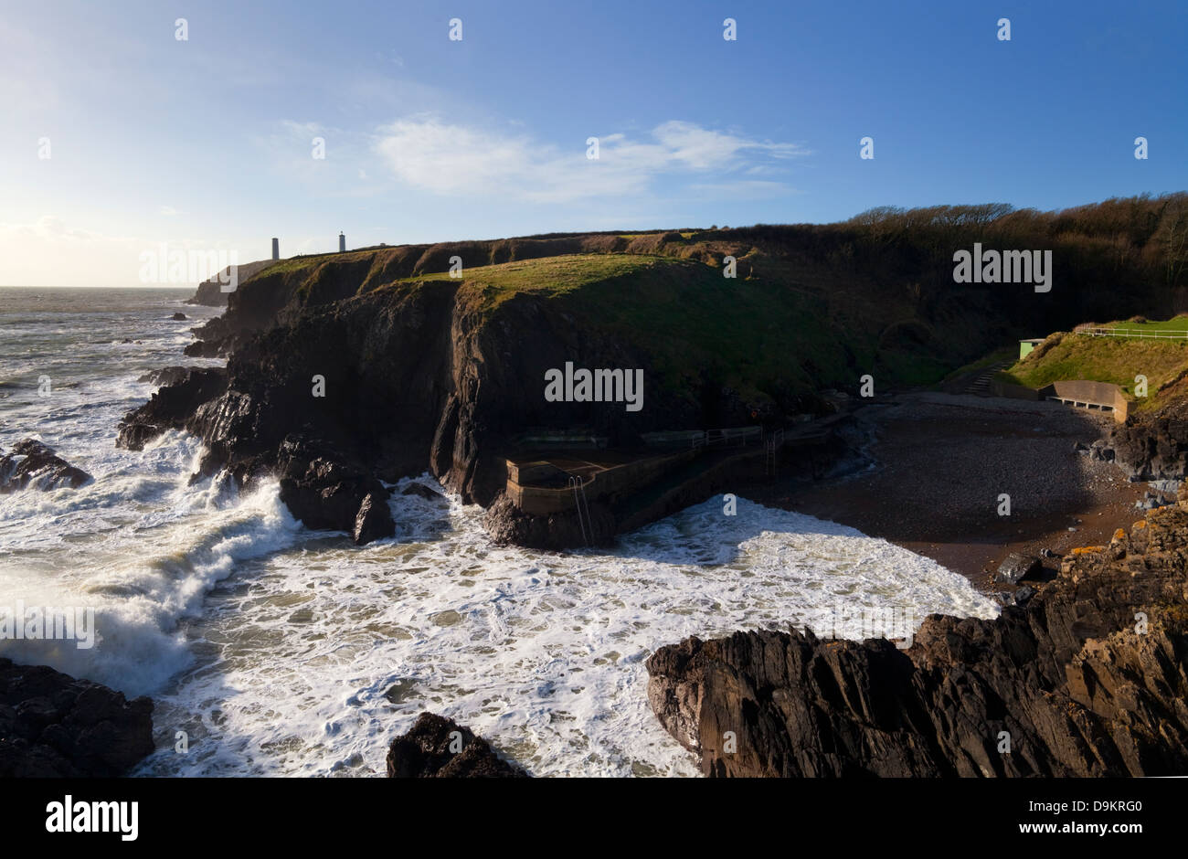
Add your own picture and explain the route, parking, gates, paths or landmarks that help people find it.
Earn 5 points after the picture is checked and accepted.
Add your photo and local directionsShare what you foundWhat is recorded here
Lying partly on Sheep Island which is being eroded into two islands by the sea, but the defences are on the mainlnad. The island, now inaccessible, has an oval hut site within a grass-covered enclosure (Westropp 1914-16, 221-2), but a similar 'Ancient Irish Dwelling' on the mainland cannot be identified. On the mainland two lengths of rampart meeting at a right angle cut off the promontory. The W section (L c. 70m), oriented ENE-WSW, consists of an earthen bank (Wth 6m; int. H 1.6m; ext. H 2m) with an outer fosse (Wth of top 8.4m; Wth of base 3.8m; D 1.4m). An outer bank described as 'low' by Westropp (1906, 255) is not evident. An entrance (Wth at top 6m) and causeway (Wth 10.5m) are modern. The E rampart (L c. 100m), oriented NW-SW, is similarly constructed with an intervening berm between the bank and fosse. The fosse has been deepened as a drainage ditch. (Westropp 1914-16, 221-2)
Westropp, T. J. (1906) Notes on certain promontory forts in the counties of Waterford and Wexford. JRSAI, 36, 239-58.
Westropp, T. J. (1914-16) Fortiified headlands and castles on the south coast of Munster. PRIA C vol. 32, 188-227.
The above description is derived from the published 'Archaeological Inventory of County Waterford' (Dublin: Stationery Office, 1999). In certain instances the entries have been revised and updated in the light of recent research.
Compiled by: Michael Moore
Date of upload/revision: 27 May 2011
The monument record does not grant public access. Check the route and ask the landowner before entering private land.