Add your own picture and explain the route, parking, gates, paths or landmarks that help people find it.
Earn 5 points after the picture is checked and accepted.
Add your photo and local directionsShare what you foundWhat is recorded here
On a SE-facing slope of Deelishmountain, in undulating hilly terrain, in pasture. A stream runs roughly N-S c. 50m to the E. A stone wall runs NW-SE immediately S of the structure, with a coniferous plantation S of the wall. The structure is on the S edge of a reclaimed field, which is under grass but very wet underfoot. All the field boundaries in the vicinity are composed of large and small boulders, all cleared off the small fields. The megalithic structure opens to the NE looking towards the gently rising hillside. The view N, E and W is impeded by rising ground, however, the view S, which is currently blocked by coniferous plantation, is excellent overlooking the sea and Dungarvan harbour.
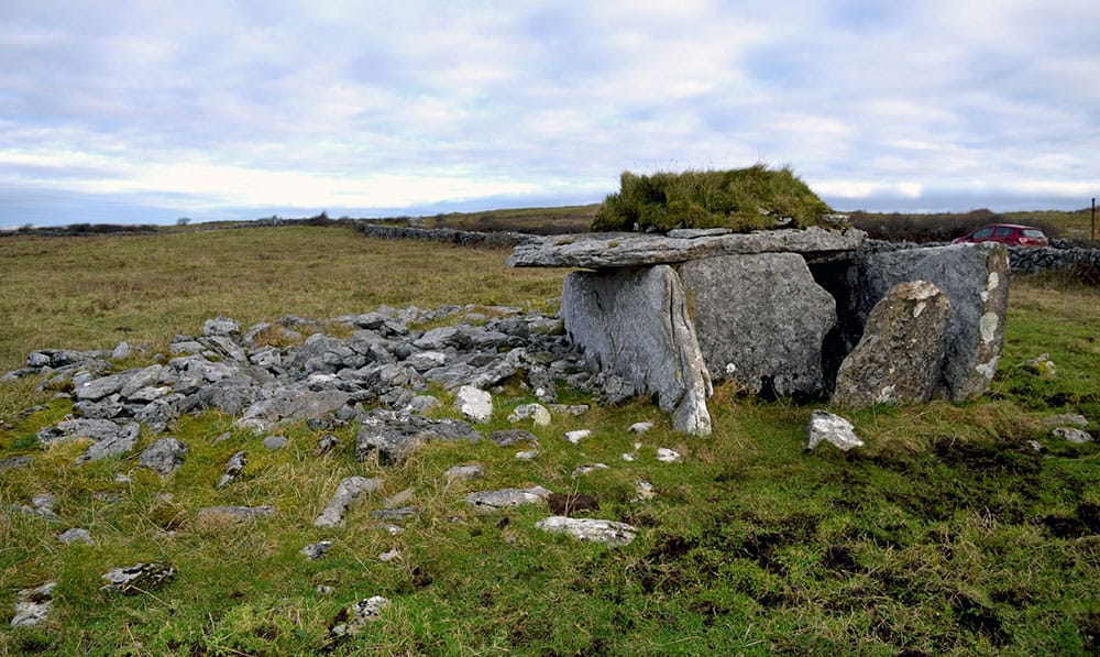
This megalithic structure, identified and reported by Michael Flynn, consists of conglomerate sandstone boulders with quartz pebble inclusions, including two large roughly square boulders forming sidestones (E stone H 1.45m; L 1.75m; Wth 1.9m; W stone H 1.36m; L 1.6m; Wth 1.1m), a roughly rectangular back stone (H 1.08m; L 1.55m tapering to 1m at base; Wth 0.4m) and two smaller boulders forming capstones. The front capstone (H 0.6m; L 1.35m; Wth 0.8m) consists of a roughly rectangular boulder, partially resting on the sidestones. There is a low outer sidestone (H 0.6m; L 1m; Wth 0.45m) which is acting as a wedge, stopping the E side stone from falling eastward. The rear capstone (H c. 0.6m; L 1.46m; Wth 0.85m) is resting on two small stones (H 0.18m; 0.3m x 0.3m; H 0.18m; 0.3m x 0.2m) at the W end of the back stone and is up against the W sidestone, not resting on it and only barely resting on the E sidestone.
The boulders form a roughly rectangular space, though the side boulders bulge into the interior, forming a crude hour-glass shape (L c. 1.25m NE-SW; from bulge to rear c. 0.8m; Wth at rear 1.1m; where the boulders bulge Wth 0.5m; towards the front Wth c. 1m). There are field clearance boulders and smaller stones between the back of the structure and the stone boundary wall. The side and back boulders all appear to be resting on the ground surface.
The blocky nature of the sidestones, the relatively insubstantial capstones, as well as having two rather than one, and the unusual presence of support stones for the rear capstone and a wedge stone for the E side stone, all suggest that this megalithic structure is a relatively recent construction, deliberately mimicking a megalithic tomb. The ready availability of large boulders in the vicinity and indications of substantial land clearance would support this.
See attached photographs:
WA023-083----_01 Front from N
WA023-083----_02 W side stone and rear from W
WA023-083----_03 General view from E
WA023-083----_04 General view from W
Compiled by: Jean Farrelly
Date of upload: 20 December 2022
The monument record does not grant public access. Check the route and ask the landowner before entering private land.