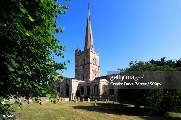
Add your own picture and explain the route, parking, gates, paths or landmarks that help people find it.
Earn 5 points after the picture is checked and accepted.
Add your photo and local directionsShare what you foundWhat is recorded here
Situated on a SW-facing slope, c. 15m SE of the graveyard (WA018-023003-). The well was described by J. O'Donovan c. 1840 as covered and it had a pointed doorway at S. Patterns were held there on the 24th of June until c. 1800 (O'Flanagan 1929, 5). It is now a pool (diam. c. 3m), with evidence of a grass-covered stoney perimeter W-E. There are also two stones with chamfered edges, while a third is from the curved arch of a doorway, cofirming O'Donovan's description. The tower house (WA018-023002-) is c. 50m to the S.
O'Flanagan, M. (Compiler) (1929) Letters containing information relative to the antiquities of the county of Waterford collected during the progress of the Ordnance Survey in 1841. Typescript. Bray.
This monument is subject to a preservation order made under the National Monuments Acts 1930 to 2014 (PO no. 22/1976).
The monument record does not grant public access. Check the route and ask the landowner before entering private land.