Add your own picture and explain the route, parking, gates, paths or landmarks that help people find it.
Earn 5 points after the picture is checked and accepted.
Add your photo and local directionsShare what you foundWhat is recorded here
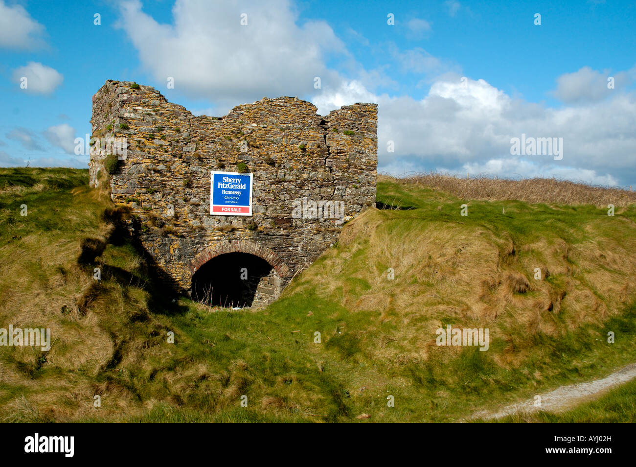
Situated just S of an E-W field bank and ditch on a level landscape. Identified in archaeological monitoring (03E0883) in advance of the R708 Waterford City Airport road, and excavated under the same licence (Scully 2006b, 501-02). The base of a subcircular fire-bowl (dims. 0.8m x 0.7m; D 0.17m) was attached to the remnants of a flue (L 0.8m; Wth 0.26-0.37m; max. D 0.3m), but it was damaged before it was completely recorded (Scully 2003), but is probably post-medieval in date (Scully 2004, 21).
Scully, O. (2003) Archaeological monitoring of topsoil removal Airport Road, Williamstown to Carrigavoe, Waterford. Licence: 03E0883. Unpublihsed report. DEHLG. Author.
Scully, O. (2004) Archaeological monitoring of the topsoil stripping on the R708 airport road re-alignment (Excavation licence No. 03E0883). Decies No. 60, 19-25.
Scully, O. (2006b) Kill St. Lawrence. Monitoring. in I. Bennett (Ed.) Excavations 2003: summary accounts of excavations in Ireland, 500-01, No. 1893. Wordwell. Bray.
Compiled by: Michael Moore
Date of upload: 19 July 2011
The monument record does not grant public access. Check the route and ask the landowner before entering private land.