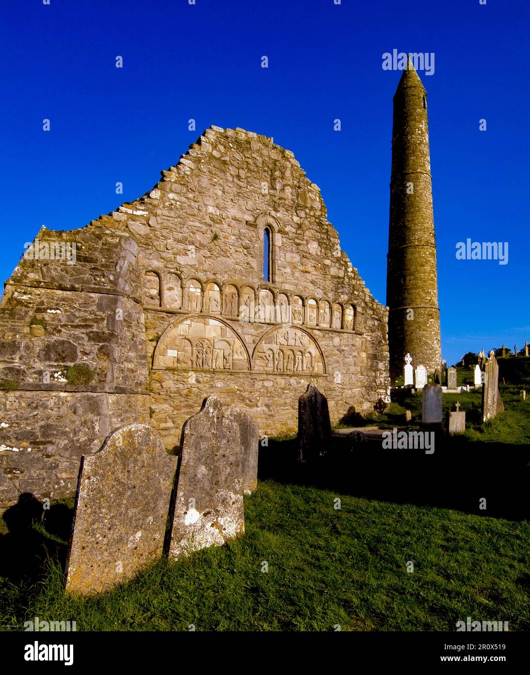
Add your own picture and explain the route, parking, gates, paths or landmarks that help people find it.
Earn 5 points after the picture is checked and accepted.
Add your photo and local directionsShare what you foundWhat is recorded here
Situated on a SE-facing slope. Identified and excavated in archaeological monitoring (03E1064) of the re-alignment of a gas-pipeline (Dempsey 2006). A suboval pit (dims. 2.1m x 1.8m; D 0.65m) was lined with a fire-redenned oxidised clay and filled with layers of clay and some charcoal flecks. There were other pits and stakholes in the vicinity.
Dempsey, J. (2006) Adamstown and Ballyduff East. Pits, kilns and furrows. in I. Bennett (Ed.) Excavations 2003: summary accounts of excavations in Ireland, 492, No. 1853. Wordwell. Bray.
Compiled by: Michael Moore
Date of upload: 21 January 2011
The monument record does not grant public access. Check the route and ask the landowner before entering private land.