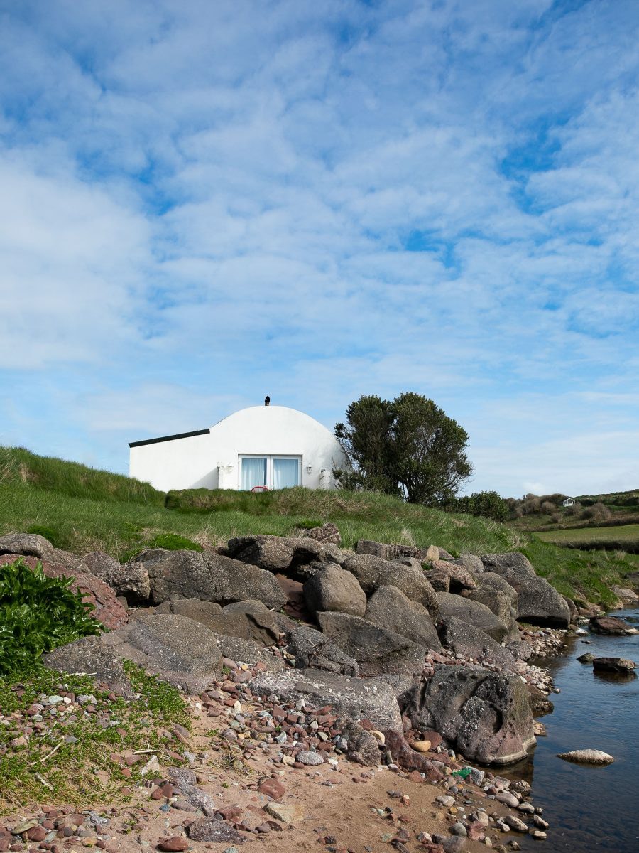
Add your own picture and explain the route, parking, gates, paths or landmarks that help people find it.
Earn 5 points after the picture is checked and accepted.
Add your photo and local directionsShare what you foundWhat is recorded here
Situated on a SE-facing slope. First identified in archaeological testing (02E0275) in advance of the N25 Waterford City by-pass (Russell (2006f), and fully excavated (03E1215) as Structure 2 in Area A of Adamstown 1 (Russell 2006i).
This is a circular area (diam. c. 7m) defined by 13 post-holes placed c. 2m apart with five further post-holes within this circle. The entrance (Wth c. 1.7m) is marked by a pair of double post-holes at SE, and there are a large number of internal stake-holes. C14 dates of cal BC 1260-900 and cal BC 1280-880 were derived from the post-holes. The two possible kilns (WA017-123007-) within are probably not contemporary. The enclosure (WA017-123005-) is c. 35m to the WSW. (Russell and Ginn 2009b, 9-12; 2011a)
Russell, I. (2006f) Site 3, Adamstown/Knockanagh. Testing. in I. Bennett (Ed.) Excavations 2003: summary accounts of excavations in Ireland, 489-90, No. 1851. Wordwell. Bray.
Russell, I. (2006i) Adamstown 1. Prehistoric. in I. Bennett (Ed.) Excavations 2003: summary accounts of excavations in Ireland, 490-1, No. 1852. Wordwell. Bray.
Russell, I. and Ginn (2009b) N25 Waterford By-pass. Contract 1. Final report on the archaeological excavation of Adamstown 1. Unpublished report. DOHLG. Archaeological Consultancy Services.
Russell, I. and V. Ginn (2011a) Adamstonwn 1, Co. Waterford. in J. Eogan and E. Shee-Twohig (2011) Cois tSiúire – nine thousand years of human activity in the lower Suir valley. Archaeological excavations on the N25 Waterford city bypass, vol. 1, 25-30. NRA road scheme: Monograph 8, Dublin
Compiled by: Michael Moore
Date of upload: 13 May 2011
The monument record does not grant public access. Check the route and ask the landowner before entering private land.