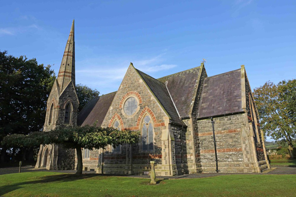
Add your own picture and explain the route, parking, gates, paths or landmarks that help people find it.
Earn 5 points after the picture is checked and accepted.
Add your photo and local directionsShare what you foundWhat is recorded here
Situated in a slight S-N valley. The parish church of Kilbride is described as ruined in 1615 (Power 1913, 117) and described by J. O'Donovan c. 1840 (O'Flanagan 1929, 17) as the foundations of a nave '30ft in length and 18ft in breadth' (c. 9.14m x 5.48m) and chancel '14ft by 13ft' (c. 4.26m x 3.96m), with a chancel arch '8ft in height, 6ft 7ins in width' (c. 2.4m x 2m), the graveyard of which was cultivated. Power (1895b, 137) describes the chancel arch as rounded, and a holy well nearby. Neither the church, well, or the graveyard are visible at ground level. There is a possible deserted settlement site (WA017-050004-) in the fields surrounding the church. There is a clearance cairn on site. (Power 1895b, 137-8)
O'Flanagan, M. (Compiler) (1929) Letters containing information relative to the antiquities of the county of Waterford collected during the progress of the Ordnance Survey in 1841. Typescript. Bray.
Power, Rev. P. (1895b) The ancient ruined churches of Waterford. WAJ. 1, 133-41, 152-72; 247-53.
Power, Rev. P. (1913) Material condition of the churches of Waterford. WAJ 16, 114-21.
The above description is derived from the published 'Archaeological Inventory of County Waterford' (Dublin: Stationery Office, 1999). In certain instances the entries have been revised and updated in the light of recent research.
Compiled by: Michael Moore
Date of upload/revision: 24 May 2011
The monument record does not grant public access. Check the route and ask the landowner before entering private land.