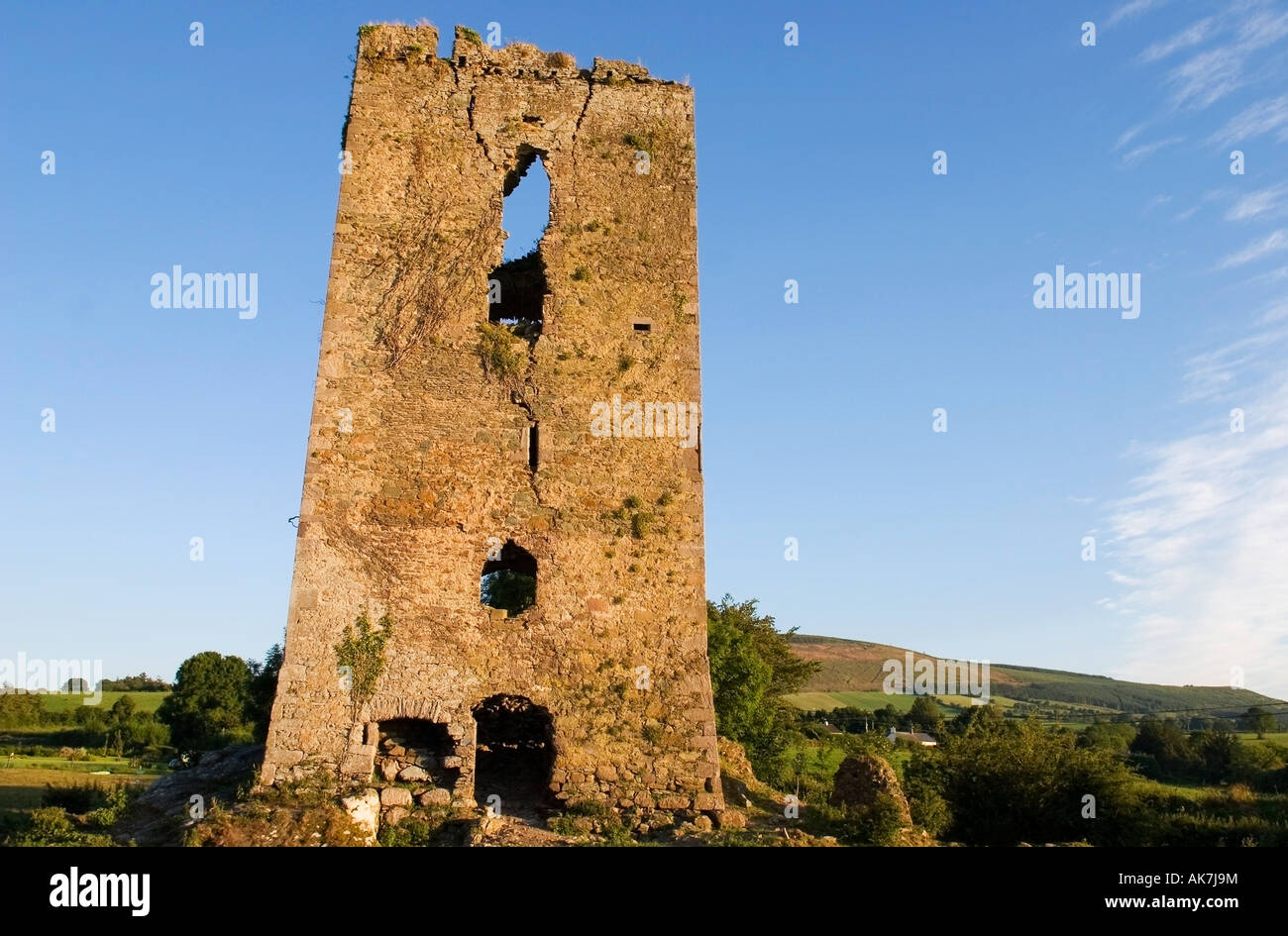
Add your own picture and explain the route, parking, gates, paths or landmarks that help people find it.
Earn 5 points after the picture is checked and accepted.
Add your photo and local directionsShare what you foundWhat is recorded here
In a small river valley in high mountainous terrain above the Mahon Falls, in the Comeragh Mountains. The River Mahon flows NW-SE c. 350m to the N. A ruinous sub-circular structure (diam. c. 4m) constructed on roughly coursed limestone rubble drystone walling, occupying a small natural rocky knoll which may have been augmented. The walling suggests a 18th/19th-century date for this structure. This structure was identified and reported by Helen Lawless.
See attached:
WA014-067----_01 Photograph by Helen Lawless
WA014-067----_02 Photograph by Helen Lawless
Compiled by: Jean Farrelly
Date of upload: 11 January 2023
The monument record does not grant public access. Check the route and ask the landowner before entering private land.