Add your own picture and explain the route, parking, gates, paths or landmarks that help people find it.
Earn 5 points after the picture is checked and accepted.
Add your photo and local directionsShare what you foundWhat is recorded here
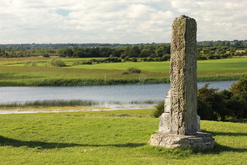
Situated in pasture on level ground at the top of an E-facing slope down to the N-S Finisk River c. 300m to the SE. The base of a stone cross (dims. c. 0.35m x 0.25m; H c. 0.23m) with interlace and fret patterns and part of the shaft, which were recorded at the church site (WA013-023001-) by Du Noyer, are now missing (Harbison 1992a, 24)
Harbison, P. (1992a) The high crosses of Ireland: an iconographical and photographic survey, 3 vols. Royal Irish Academy, Dublin.
Compiled by: Michael Moore
Date of upload: 12 November 2010
The monument record does not grant public access. Check the route and ask the landowner before entering private land.