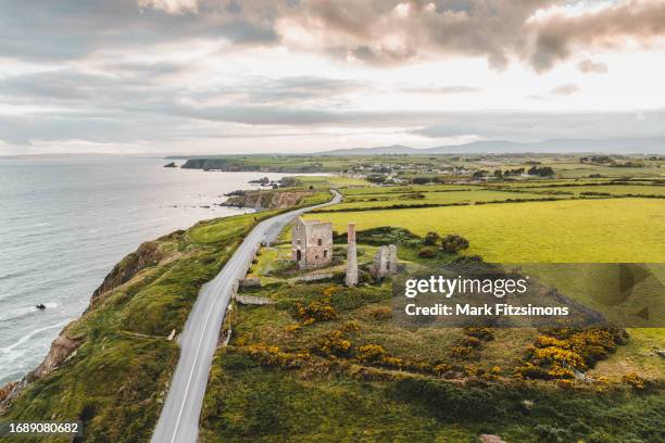
Add your own picture and explain the route, parking, gates, paths or landmarks that help people find it.
Earn 5 points after the picture is checked and accepted.
Add your photo and local directionsShare what you foundWhat is recorded here
Situated on level ground towards the top of a gentle W-facing slope. An earthen mound (diam. of base 25m WNW-ESE; 24m NNE-SSW; H 3m at SSW to 3.75m at NNE) is slightly dished at the summit (diam. of top 14.3m NNE-SSW; 13.8m WNW-ESE), but has no evidence of a fosse. A field to the N, known locally as 'the village', produced 'red brick' during land reclamation. A tower house site (WA010-005----) is adjacent to the E and Faithleg church (WA010-003001-) is c. 240m to N. It is planted with deciduous trees.
The above description is derived from the published 'Archaeological Inventory of County Waterford' (Dublin: Stationery Office, 1999). In certain instances the entries have been revised and updated in the light of recent research.
Date of upload/revision: 23 December 2008
The monument record does not grant public access. Check the route and ask the landowner before entering private land.