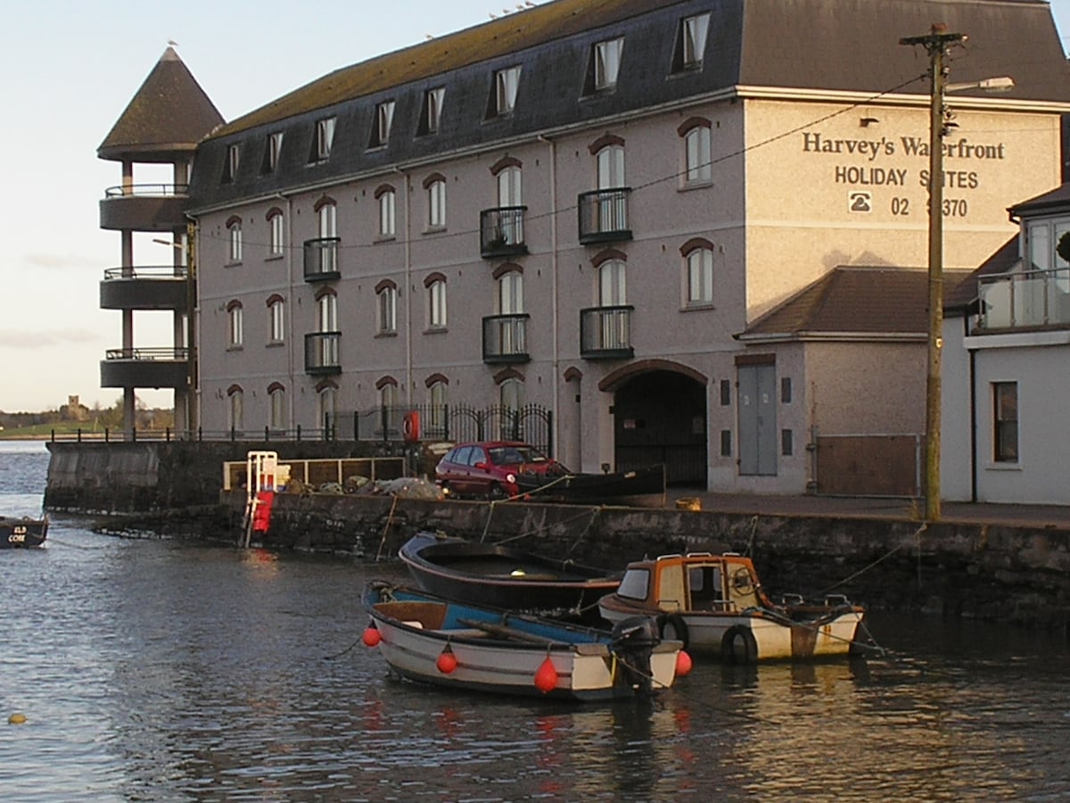
Add your own picture and explain the route, parking, gates, paths or landmarks that help people find it.
Earn 5 points after the picture is checked and accepted.
Add your photo and local directionsShare what you foundWhat is recorded here
Located on the floodplain of the River Suir. First identified in centre-line testing (02E0274) by Deirdre Murphy of Archaeologoical Consultancy Services in advance of the N25 Waterford City by-pass (Murphy 2004). Fully excavated (03E0340) by Aidan O'Connell of ACS, it became known as Knockhouse Upper 3. A burnt mound (dims. 7m E-W; 5m N-S; T 0.15m) is associated with an oval unlined trough (dims. 2.16m NE-SW; 1.56m NW-SE; D 0.35m). Nineteenth century brick-kilns were nearby. Excavated features (WA009-022----) are c. 180m to the NNE. (O'Connell 2006a; O'Connell and Ginn 2011)
Murphy, D. (2004) ‘Knockhouse Upper/Knochhouse Lower/Woodstown (N25 Waterford by-pass Contract 1, site B’, in I. Bennett (Ed.) Excavations 2002: summary accounts of archaeological excavations in Ireland, 493, No. 1799. Wordwell. Bray.
O'Connell, A. (2006a) Knockhouse Upper 4. Pit. in I. Bennett (Ed.) Excavations 2003: summary accounts of excavations in Ireland, 506, No. 1908. Wordwell. Bray.
O’Connell, A. and V. Ginn (2011b) Knockhouse Upper 3, Co. Waterford. in J. Eogan and E. Shee-Twohig (2011) Cois tSiúire – nine thousand years of human activity in the lower Suir valley. Archaeological excavations on the N25 Waterford city bypass, vol. 2, 22-5. NRA road scheme: Monograph 8, Dublin
Compiled by: Michael Moore
Date of upload: 08 December 2010
The monument record does not grant public access. Check the route and ask the landowner before entering private land.