Add your own picture and explain the route, parking, gates, paths or landmarks that help people find it.
Earn 5 points after the picture is checked and accepted.
Add your photo and local directionsShare what you foundWhat is recorded here
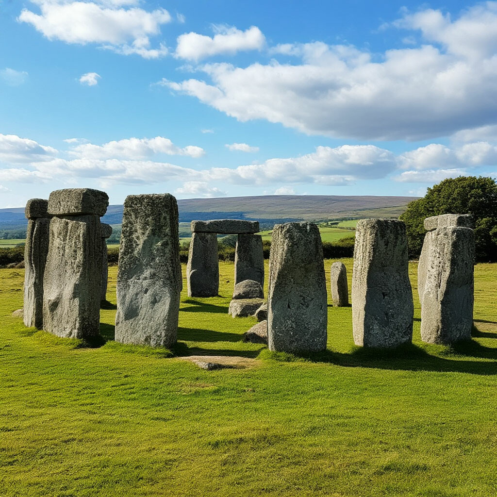
Situated in pasture on the floor of a NW-SE valley. Marked on the 1840 and 1926 eds. of the OS 6-inch maps. Its existence is known only from Blackett (1851, 496) and O'Donovan c. 1840 (O'Flanagan 1929, 32) who describe it as similar in structure to Ballyquin portal tomb (WA003-049----) c. 50m to W but with a larger roofstone (dims. c. 4.5m x 2.5m; T c. 1.5m). One of the two portal-stones had fallen over and no other structural stones seem to have been present. It may have been a portal tomb, but it has since been removed.
Blackett, W. R. (1851) Antiquities in the County of Waterford. JRSAI 1, 496-500.
O'Flanagan, M. (Compiler) (1929) Letters containing information relative to the antiquities of the county of Waterford collected during the progress of the Ordnance Survey in 1841. Typescript. Bray.
Ó Nualláin, S. (1983) Irish portal tombs: topography, siting and distribution. JRSAI 113, 102-03.
The above description is derived from the published 'Archaeological Inventory of County Waterford' (Dublin: Stationery Office, 1999). In certain instances the entries have been revised and updated in the light of recent research.
Date of upload/revision: 23 December 2008
The monument record does not grant public access. Check the route and ask the landowner before entering private land.