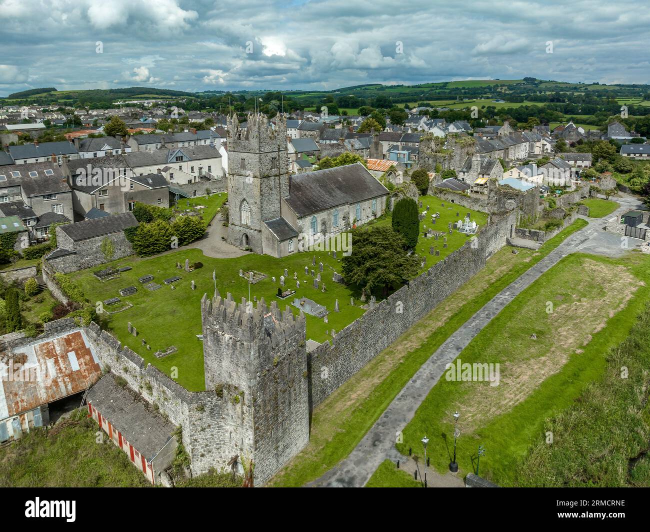
Add your own picture and explain the route, parking, gates, paths or landmarks that help people find it.
Earn 5 points after the picture is checked and accepted.
Add your photo and local directionsShare what you foundWhat is recorded here
On a SW-facing slope of Barranacullia hill in the Knockmealdown mountains, in upland boggy terrain. This is part of a complex of enclosures (TS091-009001-; TS091-009007-; TS091-009008-; TS091-009009-; TS091-009012-), hut sites (TS091-009004-; TS091-009006-; TS091-009010-; TS091-009011-; TS091-009015-), a possible ring-cairn (TS091-009002-), clearance cairns (TS091-009005-) and a field system (TS091-009013-) identified by Diarmuid O'Keeffe, 1996. Circular enclosure (int. diam. 6m N-S; 6.2m E-W; ext. diam. 10.1m N-S; 9.6m E-W) defined by a denuded stone wall (Wth 2.6m at base; 0.8m at top; H 0.58 above int.; 0.12m above ext.). The interior slopes to the SW. The wall in the SE quadrant is much denuded. A large stone enclosure (TS091-009001-) is visible 48m to the SE. There is a possible wall running into the NE quadrant.
Compiled by: Jean Farrelly
Date of upload: 25 February 2014
The monument record does not grant public access. Check the route and ask the landowner before entering private land.