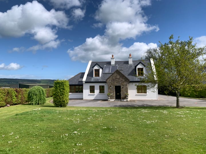
Add your own picture and explain the route, parking, gates, paths or landmarks that help people find it.
Earn 5 points after the picture is checked and accepted.
Add your photo and local directionsShare what you foundWhat is recorded here
On the NE-facing slope of a ridge which drops sharply (c.10m) to the Suir river valley to the N, immediately N of the monument. The slope is planted with a mixture of conifers and deciduous trees. The ringfort (diam. c. 30m N-S and E-W) slopes quite steeply to the N with the natural slope. The field has been reclaimed and the ringfort has been flattened but is still evident as an internal area enclosed by a flattened bank (Wth 6.9m; int. H 0.24m; ext. H 0.3m); fosse (Wth 4.1m; D 0.9m) and probable external bank (Wth 8.2m; ext. H 0.12m), particularly evident in the S quadrant. The bank peters out towards the edge of the precipice where no outer defence would have been needed. There is no surviving evidence of an entrance feature. The ringfort is indicated but not named on the 1st (1840) ed. OS 6-inch map.
Compiled by: Jean Farrelly
Date of upload: 08 January 2014
The monument record does not grant public access. Check the route and ask the landowner before entering private land.