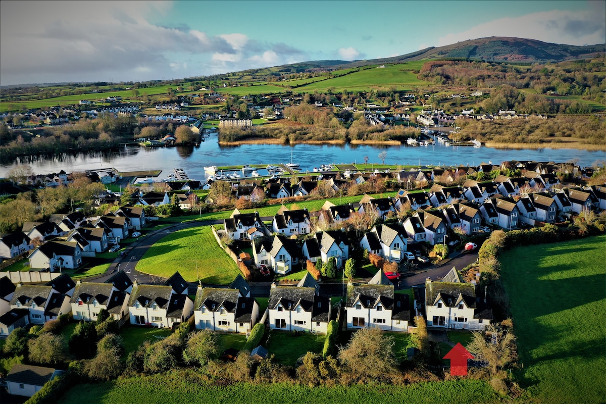
Add your own picture and explain the route, parking, gates, paths or landmarks that help people find it.
Earn 5 points after the picture is checked and accepted.
Add your photo and local directionsShare what you foundWhat is recorded here
On level ground on a NW-facing slope, with the Anner river c. 100m to the NW. Described in the Civil Survey (1654-6) as 'the stump of an old castle neere the River Annor' and the proprietor in 1640 is listed as 'Phillip Walle of Newtowne-Annor. gent. Irish Papist' (Simington 1931, vol. 1, 274). The present castle was built in the 1860s by Rev. N. H. Mandeville and according to Bence-Jones (1988, 5) incorporated 'the old square castle of the Mandeville family which had up to then been known as Ballinahy'. The castle was burnt in 1926 and only the front part was rebuilt (ibid.). The castle is built on a square plan with two 19th-century octangonal battlemented towers to the front and two rectangular battlemented towers incorporated in the rear. The latter survive as a shell and are overgrown with ivy. It is possible that the original castle was incorporated in the SW tower (ext. Wth 15.6m E-W) as the masonry in this tower is rubble limestone whereas the rest of the building is composed of irregular limestone blocks.
Compiled by: Jean Farrelly
Date of upload: 26 August 2011
The monument record does not grant public access. Check the route and ask the landowner before entering private land.