Add your own picture and explain the route, parking, gates, paths or landmarks that help people find it.
Earn 5 points after the picture is checked and accepted.
Add your photo and local directionsShare what you foundWhat is recorded here
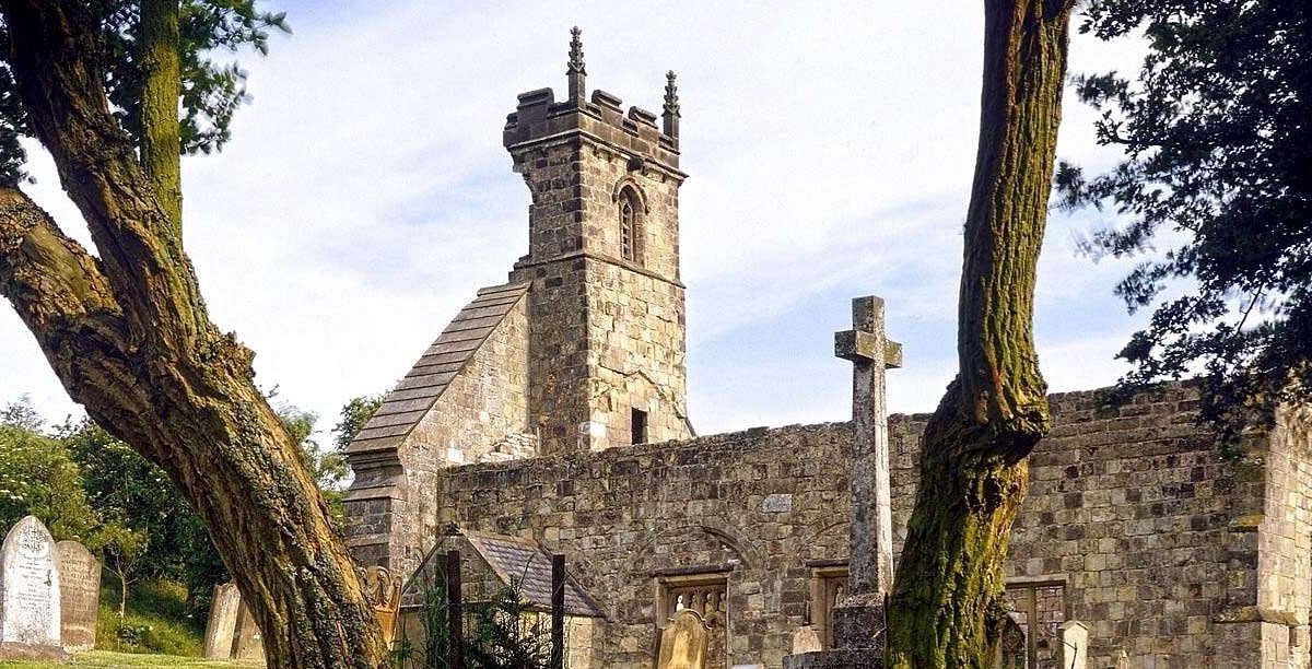
On a hill in undulating pasture. The settlement consists of a 12th-century church (TS077-027001-) and surrounding earthworks. The fields S, E and N of the graveyard have a number of earthen and stone banks which represent settlement. Main bank running roughly NE-SW and then turns E-W. Smaller plots to N of this main boundary at the W end of field. Area E of church has two roughly parallel banks (Wth 1m crest, 3m base; int. H 0.52m; ext. H 0.52m) running roughly N-S, may represent a roadway. However, the width of this possible roadway does not remain constant. On the E side, running up to E bank, there is the possible foundation of a rectangular building (dims. 4.2m x 8m) defined by an earthen bank (Wth 0.75m crest, 2.9m base; int. H 0.26m; ext. H 0.42m) with a curving annexe to N (dims. 5.7m x 5.75m). NE of the church there is a rectangular earthwork (dims. 5.5m N-S; 8m E-W) defined by a low, earth and stone bank (H above int. 0.18m; H above ext. 0.27m). Possible entrance in S bank, S side is more denuded. 5m W of this rectangular structure there are two parallel banks close to each other, only 0.9m apart, running E-W, turning sharply to S, parallel to W end of N wall of church. To the NE there is a circular pond (diam. c. 20m), it may be natural, other ponds show up on aerial photographs in fields to NW. There is a substantial field bank to N of the rectangular structure, it kinks out and appears to be avoiding the pond. There are slight traces of a bank around the rim of the pond. SW of the church there is a small field, immediately S of a modern boundary wall. The field (dims. 11.6m N-S; 12.8m E-W) is defined by an earth and stone bank (Wth 0.9m crest, 2.3m base; int. H 0.55m, ext. H 0.34m). The N and S bank are slightly lower than the E and W banks. No definable entrance. Another bank (Wth 1m crest, 3.9m base, int. H 0.63m; ext. H 1.06m) runs NE-SW S of the W end of the church, it has a slight sloping bern on its SE side. In the entire field immediately W of Donaghmore church there are numerous earthworks. A house was built c. 10 years ago in the NW corner of the field with driveway and surrounding garden, no earthworks survive in this area.
Compiled by: Jean Farrelly
Date of revised upload: 15 December 2014
The monument record does not grant public access. Check the route and ask the landowner before entering private land.