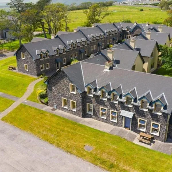
Add your own picture and explain the route, parking, gates, paths or landmarks that help people find it.
Earn 5 points after the picture is checked and accepted.
Add your photo and local directionsShare what you foundWhat is recorded here
In forestry to W and rough pasture to E. Sub-circular area (map dims. 50m N-S; 60m E-W) bisected by stream (long-axis NE-SW). Remains of levelled bank (int. H 0.7m; ext. H 0.35m; Wth 12m) SW-NE. Plantation of ash saplings enclose same, outside an 8m buffer zone. Slight visible surface trace of levelled bank NE-E-SE. Interior on both sides falls gently to stream. Monument appears to have been levelled as part of Land Project Works in the late 1950s (OPW files).
Compiled by: Jean Farrelly
Date of upload: 26 August 2011
The monument record does not grant public access. Check the route and ask the landowner before entering private land.