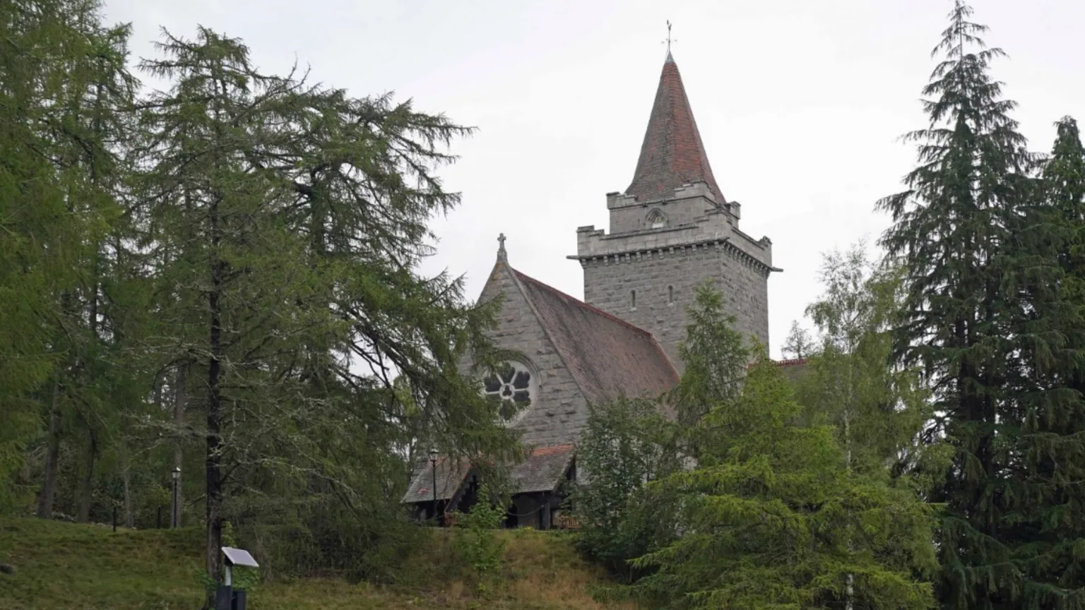
Add your own picture and explain the route, parking, gates, paths or landmarks that help people find it.
Earn 5 points after the picture is checked and accepted.
Add your photo and local directionsShare what you foundWhat is recorded here
On level ground on a gradual SE-facing slope, in undulating terrain under pasture. Barrettstown tower house (TS070-035001-) is visible c. 900m to the W. Until the 16th century the church at Redcity was known as 'Cill Milleog' with various spellings from Kylmylock in the 1301-2 Pipe Rolls, to Kilmilok/Kilmyloc in the 1306 Papal Taxation records, with other variations throughout the 14th, 15th and 16th centuries (Ó Cearbhaill 2007, 179-80). The nave (int. dims. 5.93m N-S; 9.22m E-W) and chancel (int. dims. 5.25m N-S; c. 4.6m E-W) church has a broken-out doorway in the centre of the W gable (H c. 6m; wall T 0.85m). The nave is constructed of limestone rubble, roughly coursed, with some thin slabs of red sandstone throughout, while the chancel is constructed of larger blocks of limestone with no sandstone. The NW and SW quoins have been robbed. The interior ground level is lower than the exterior. The N and S walls of the nave survive to a height of 3.5m above the interior, but the E wall (T 0.9m) is reduced to rubble (Wth 2.1m). Though no windows survive, a gap towards the E end of the S wall may indicate a former window embrasure. There are no gaps in the N wall which, though heavily ivy covered, appears to have no windows. Of the chancel, the N wall is the best preserved, while the S wall survives to a max. H of 2m above int. ground level (H 1.5m above ext. ground level) and the E gable is reduced to a bank (Wth crest 1.7m; Wth base 3.65m; H above int. 0.6m; H above ext. 1.2m). Where the N wall of the chancel meets the E wall of the nave, the chancel wall does not appear to be keyed-in, suggesting that the chancel post-dates the nave. The church is very heavily overgrown. There are no grave-markers or headstones in the immediate vicinity of the church. The graveyard (TS070-041001-) is c. 30m to the E.
Compiled by: Jean Farrelly
Date of upload: 26 August 2011
The monument record does not grant public access. Check the route and ask the landowner before entering private land.