Add your own picture and explain the route, parking, gates, paths or landmarks that help people find it.
Earn 5 points after the picture is checked and accepted.
Add your photo and local directionsShare what you foundWhat is recorded here
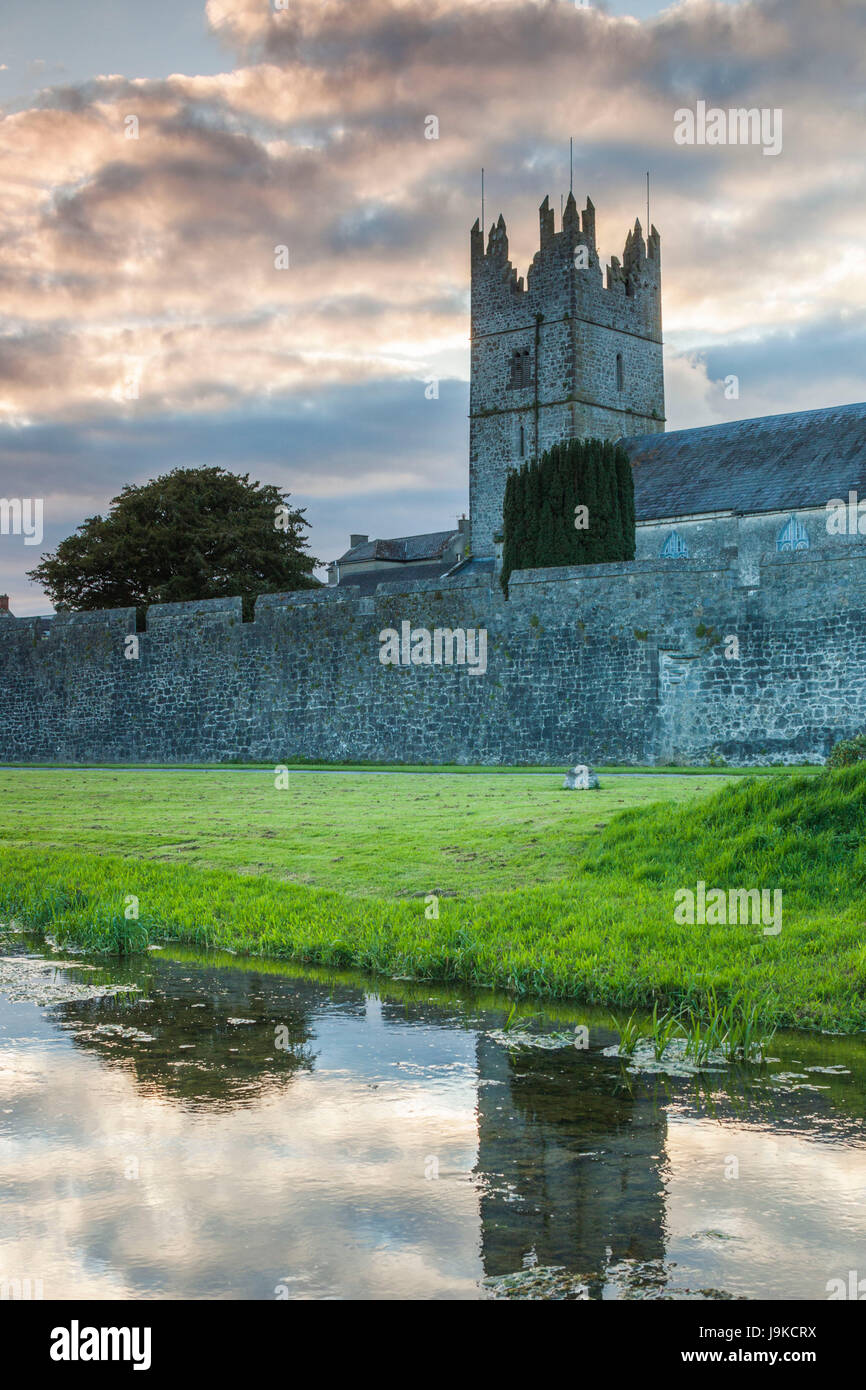
Immediately S of the town wall (TS070-040032-) and medieval parish church (TS070-040001-) and W of the pound (TS070-040012-). A charter of 1611 refers to two almshouses in Fethard built by Sir John Everard (O’Reilly 2007, 220). In Redmond Everard’s will of 1739 provision is made, ‘for the maintenance of the 12 poor men and woman at Feathard’ (ibid., 221). Redmond Grace’s 1708 map of the town depicts the building as being one storey with attic and a chimney on each gable with steps leading to an entrance in the town wall (O’Keeffe 2003, map 5). The accompanying index lists it as, ‘The widows house on the town wall near the church’ (ibid. and appendix A). In a sketch of 1841 by du Noyer the first-floor of a two-bay building, facing the Clashawley River is depicted at this location (ibid., 11). The S face has two two-light windows at first-floor level, possibly with hood-mouldings, above which there is a parapet with a row of waterspouts (ibid., O’Reilly 2007, 233-4). The sketch also shows a single-light window in the E gable at first-floor level and both the E and W gable are surmounted by a chimney (ibid.). The N wall of this building also functioned as the town wall and the graveyard (TS070-040031-) boundary wall. There is an opening (Wth 1.33m) in this wall which gives access directly into the almshouse, as depicted on the 1708 Grace map. The ground level in the graveyard is higher than outside the town wall. The almshouse is built of roughly coursed limestone rubble, though apart from the E wall (H 2.07m; T 1.3m) only the lower courses of this building survive. The E wall has a pronounced base-batter (H 2m; Wth 0.2m) and is bonded into the town wall (Scally 1991, 7). Within this wall there is an embrasure (H 1m above ground level, Wth 1.02m) with a round-headed single-light window (ope 1.05m x 0.13m), chamfered externally. The lower courses of the S wall (T 1.21m; H 0.57m) were revealed as a result of archaeological excavation (Scally 1991, 7). The lower courses of a W wall have been completely rebuilt, the evidence for this wall is unclear. These walls suggest a building with an internal dimension of 5.24m N-S x 5m E-W, however, the du Noyer sketch suggests a more rectangular building and the 1840 Fair Plan OS map shows the outline of this building, giving external dimensions of c. 6m N-S x c. 12m E-W. A short length of masonry (L 1.3m; H 0.6m) projects out from the town wall 2.85m W of the present reconstructed W wall. Though this is not definitely a wall, and it has been consolidated with concrete mortar, it is possible it may relate to the almhouse. There is a chute (dims. 0.55m x 0.38m) in the thickness of the E wall, towards the N end, which appears to exist towards the base of the wall externally, suggesting it was a garderobe chute, serving a garderobe at first-floor level.
Compiled by: Jean Farrelly
Date of upload: 11 March 2015
The monument record does not grant public access. Check the route and ask the landowner before entering private land.