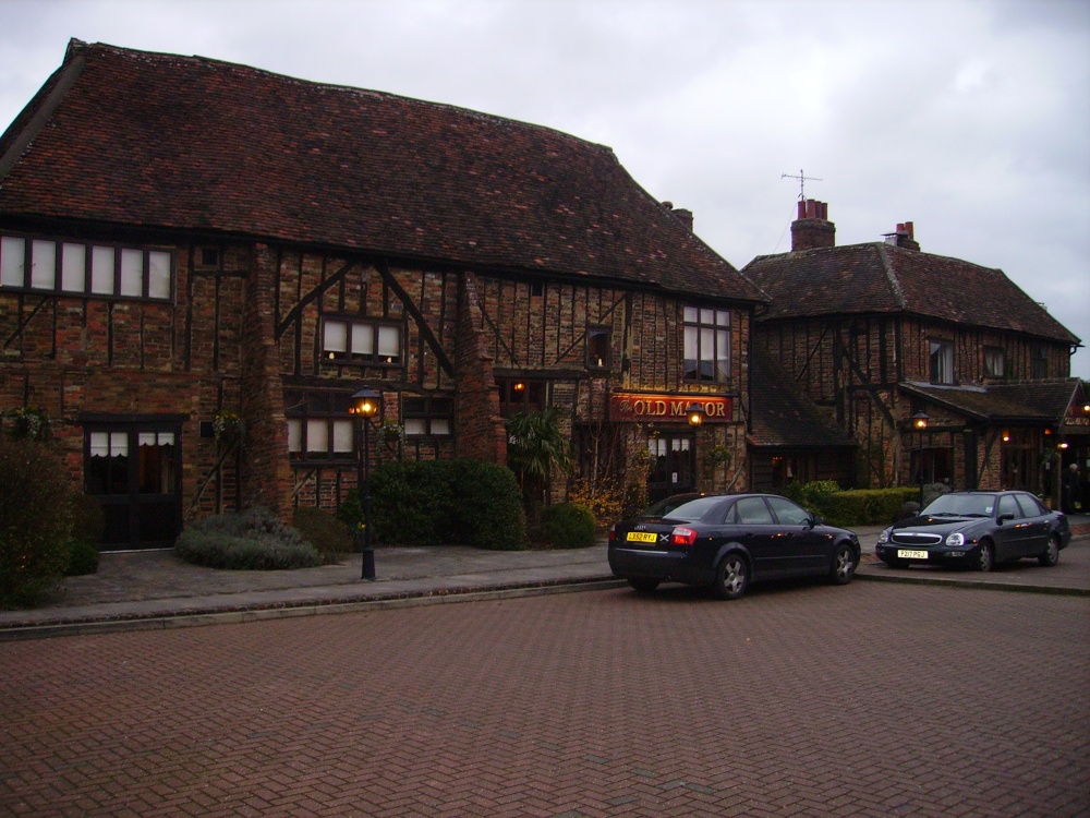
Add your own picture and explain the route, parking, gates, paths or landmarks that help people find it.
Earn 5 points after the picture is checked and accepted.
Add your photo and local directionsShare what you foundWhat is recorded here
On a SW-facing slope in undulating terrain within a horse gallops. This is indicated as an unroofed 'Old Manor Ho. (in ruins)' (dims. c. 36m N-S; c. 6m E-W) on the 1st (1840) ed. 6-inch OS map. This map also shows a small building, or angle tower, projecting from the NW angle and a wall running c. 12m westward from the SW angle. In the OS Namebooks (O'Donovan c. 1840) it is described as 'a ruin about 35 yards in length having several smaller ruins & two large houses at its western side'. By the 2nd (1903-04) ed. 6-inch OS map the house is no longer indicated. It is possible that this house dates to the 17th century as it was ruinous by 1840, and the house which possibly had succeeded it, Brook Hill house, located 40m to the W, is also described as being in ruins, though roofed, on the 1840 map. There is no visible trace of this house above ground.
Compiled by: Jean Farrelly
Date of upload: 5 December 2012
This remains an important historical record, but the official description says the monument is no longer visible or has been destroyed.
The monument record does not grant public access. Check the route and ask the landowner before entering private land.