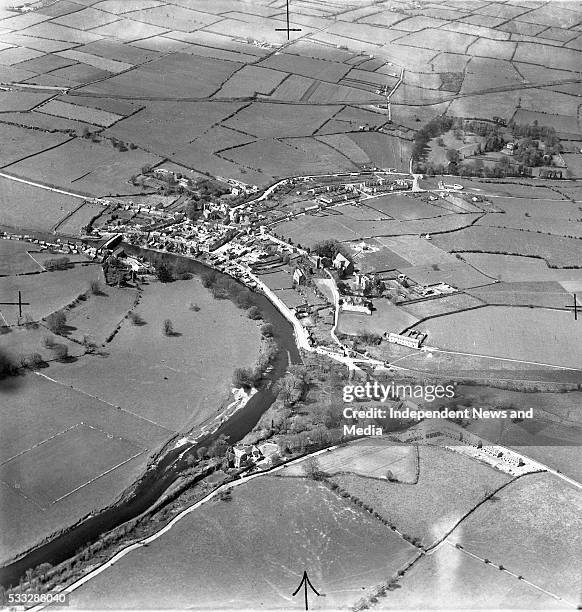
Add your own picture and explain the route, parking, gates, paths or landmarks that help people find it.
Earn 5 points after the picture is checked and accepted.
Add your photo and local directionsShare what you foundWhat is recorded here
On level ground in gently undulating terrain, in pasture. There is a natural waterlogged depression immediately to the NNW and an enclosure (TS068-133----) c. 80m to the N. Monument identified as a circular cropmark on an aerial photograph (ASIAP (34) 28). Though levelled, this monument is visible on the ground as a circular raised area (diam. 25m) defined by a gradual gentle scarp (Wth 6m; H above ext. 0.3m) and a subtle fosse (Wth 3-3.5m) which is emphasised by naturally rising ground externally. The edge of the scarp is not clear in the S quadrant where a field boundary runs E-W along the edge of the monument.
Compiled by: Jean Farrelly
Date of upload: 20 March 2013
The monument record does not grant public access. Check the route and ask the landowner before entering private land.