Add your own picture and explain the route, parking, gates, paths or landmarks that help people find it.
Earn 5 points after the picture is checked and accepted.
Add your photo and local directionsShare what you foundWhat is recorded here
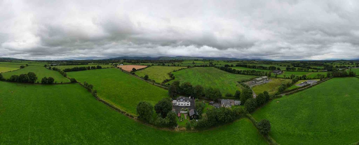
In level pasture, on upper edge of a steep SW-facing slope. Stream to NW and drain to SW. Levelled monument - virtually no visible surface trace. Sub-rectangular in shape on 1st (1840) and 2nd (1900-05) OS 6-inch map. According to landowner, enclosure was levelled c. 20 years ago when land was reclaimed and field boundaries were knocked. Enclosure (TS068-073----) located c. 270m to NW.
Compiled by: Jean Farrelly
Date of upload: 26 August 2011
The monument record does not grant public access. Check the route and ask the landowner before entering private land.