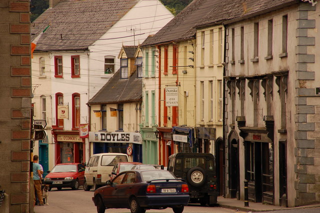
Add your own picture and explain the route, parking, gates, paths or landmarks that help people find it.
Earn 5 points after the picture is checked and accepted.
Add your photo and local directionsShare what you foundWhat is recorded here
On a slight rise in generally undulating terrain, in a farmyard with a disused house, the bawn forming the farmyard boundary along the S and SW sides while the N wall of the bawn forms the back wall of a range of farm buildings. The yard has been concreted with a concrete lean-to against the S wall with a corrugated-iron roof. There is a large concrete cattle shed in the southern sector of the bawn. According to the Civil Survey (1654-6) 'James Earle of Ormond' was the proprietor of 'Lagganstowne' in 1640 and 'Uppon the sd lands stands a Castle wanting repayre wth a Bawne & some thatcht cabbins' (Simington 1934, vol. 2, 10). The bawn appears to have been at least five-sided (dims. 61.6m N-S), though the E and W wall does not survive above ground level. Pasture to E, with farm road running from the farmyard to E, with a deep drainage ditch running along its S side. The bawn is composed of limestone rubble, roughly coursed (T 0.93m; SW wall H 2.4m above interior, N wall c. H 3.5m above interior). The N wall (L 44m) is well-preserved, it forms the back wall for a range of outbuilding along the W end of the N wall (L 20m). Towards the E end of the N wall (L 24m), on the interior, there are six high blind arcades (H c. 3m; Wth c. 4m), probably to provide additional support for a wall-walk. The internal face of the masonry has been broken out where there is likely to have been a pyramidal corbel between each projecting arch. A cattle shed has been built up against the external face of this length of wall and it has been rendered with concrete so no original features are visible. Only a short length (L 2.8m) of the return of the E wall survives above ground level. The E end of the S wall is heavily overgrown with brambles and the presence of a return for the E wall could not be established, however most of the S wall (L 27.2m) is clearly visible, with an embrasure, only the E side of which survives, for a narrow loop, towards the centre of this wall. The S wall joins the SW wall at an obtruse angle, in the interior of which there is evidence of a feature which projects from the SW wall by 1.2m and from the S wall by 0.8m. The SW length runs for 26.9m, the section of wall between the SW length and the N length does not survive above ground level. The bawn is described in the OS Letters (O'Flanagan 1930, vol. 1, 84) as 'a square enclosure measuring forty seven paces from east to west and fifty paces from north to south. The walls are fourteen feet [4.2m] in height and four feet [1.2m] in thickness and built of limestones which are grouted. There seems to have been a square tower at the northeast corner of this bawn but it is now destroyed'.
Compiled by: Jean Farrelly
Date of upload: 26 August 2011
This remains an important historical record, but the official description says the monument is no longer visible or has been destroyed.
The monument record does not grant public access. Check the route and ask the landowner before entering private land.