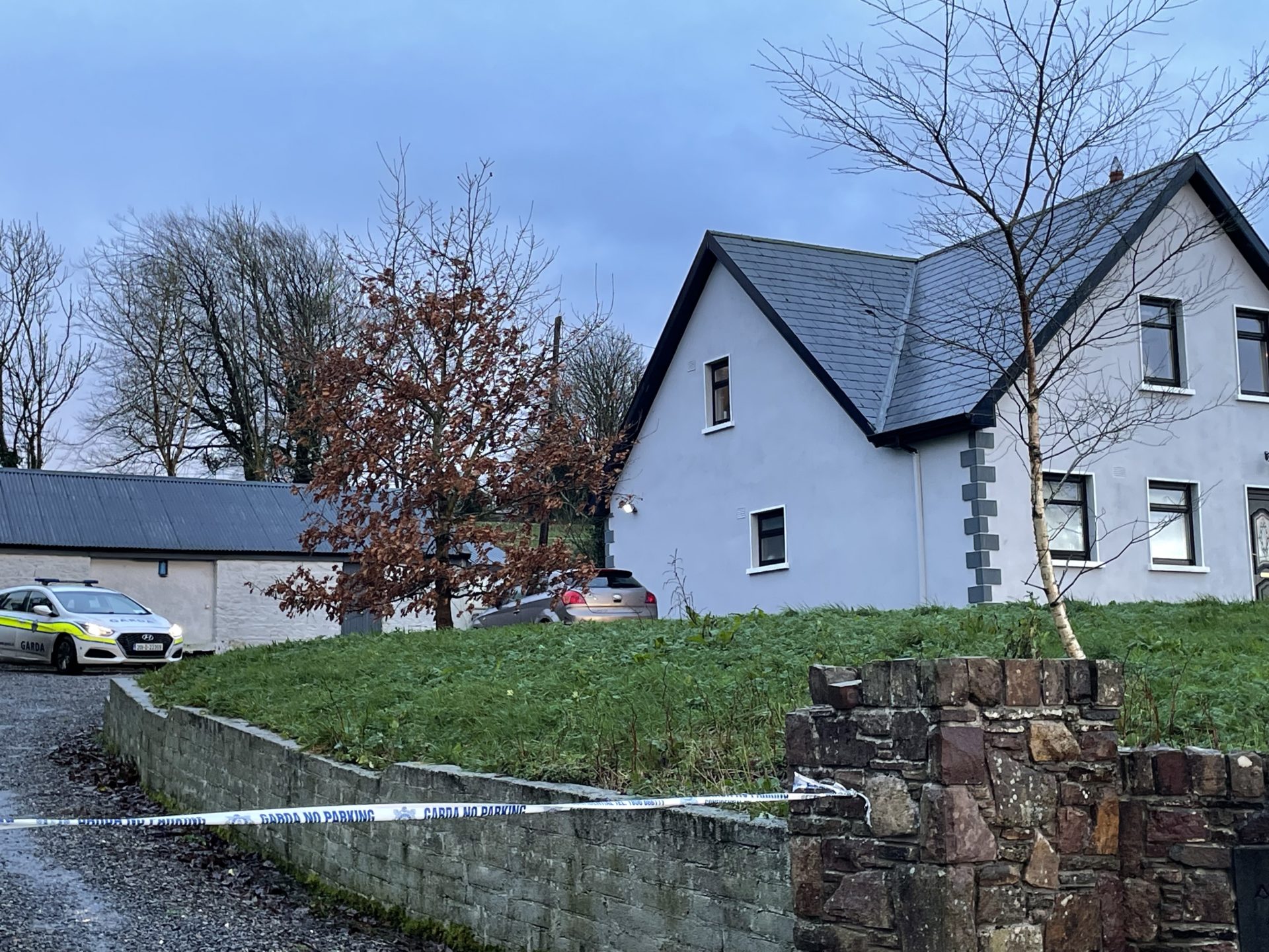
Add your own picture and explain the route, parking, gates, paths or landmarks that help people find it.
Earn 5 points after the picture is checked and accepted.
Add your photo and local directionsShare what you foundWhat is recorded here
In level rushy pasture at the NE side of a field system (TS066-121002-). Not shown on any edition of the OS 6-inch map but visible in an aerial photograph (GSI R. 502/3; Air Corps V. 263/115) as a roughly circular enclosure (diam. c. 30m). No surface trace visible at ground level.
Compiled by: Jean Farrelly
Date of upload: 26 August 2011
The monument record does not grant public access. Check the route and ask the landowner before entering private land.