Add your own picture and explain the route, parking, gates, paths or landmarks that help people find it.
Earn 5 points after the picture is checked and accepted.
Add your photo and local directionsShare what you foundWhat is recorded here
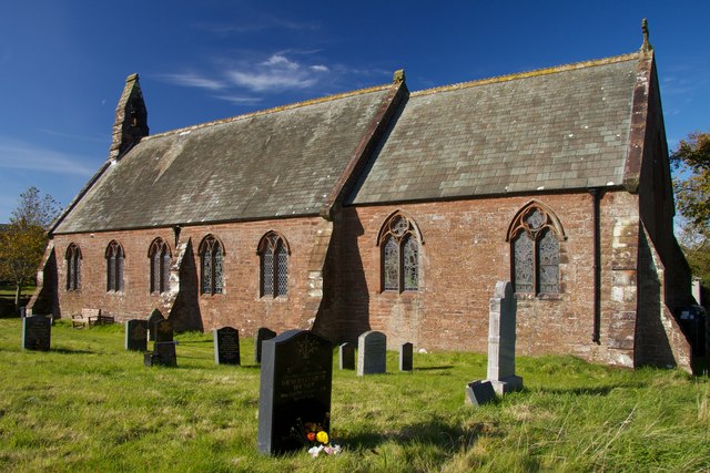
On a relatively flat break of a W-facing slope, in pastureland, with a farmyard immediately to the N. St James’ Well (TS062-089----) is located c. 180m to the N and there are two large ringforts (TS062-088----; TS062-097----) c. 260m to the NNE and c. 70m to the SSE respectively. Knockkelly castle (TS062-131001-) is clearly visible on a hill 1.6km to the SSW. The church is in the centre of a roughly rectangular graveyard (TS062-096001-). A ruinous church (dims. 15.4m E-W; 6.8m N-S) which largely survives as a low, grass-covered walls (int. H 0.65m; ext. H 0.7-0.95m; T 1.06m), though a good portion of the W gable survives (H 1.5m; T 1.1m). It is built of roughly coursed small sandstone/sligh rubble. There are a number of headstones erected against the internal face of the W gable, the earliest dating to 1756. A calvary on a concrete plinth has been erected on top of the E gable of the church. Both side walls of the church terminate c. 2.5m from the E gable. According to the OS Letters (O’Flanagan 1930, vol. 2, 156 (445-6)) there was a window near the top of the W gable which was obscured by ivy. There is a chamfered door jamb (dims. 0.23m x 0.165m; chamfer 0.08m) with a diagonal stop, embedded upside down in the graveyard.
Compiled by: Jean Farrelly
Date of upload: 06 March 2012
The monument record does not grant public access. Check the route and ask the landowner before entering private land.