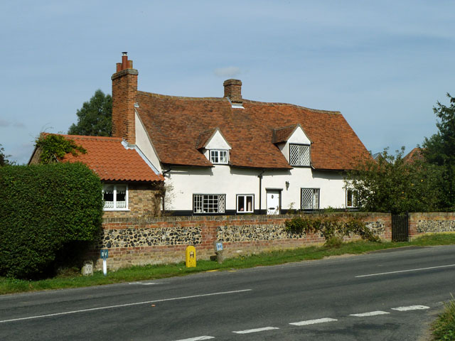
Add your own picture and explain the route, parking, gates, paths or landmarks that help people find it.
Earn 5 points after the picture is checked and accepted.
Add your photo and local directionsShare what you foundWhat is recorded here
In improved pasture on a W-facing slope. Known locally as St. James' Well and is associated with St. James' Church (TS062-096----) and graveyard (TS062-096001-) c. 200m to S. Two ringforts (TS062-089---- and TS062-097----) are located c. 120m and 220m to the NE and S respectively. According to local information the well was stone-lined and had been used to pipe water to Peppardstown House, which is c. 80m to the SW, before being blocked up. It is not visible at ground level.
Compiled by: Jean Farrelly
Date of upload: 26 August 2011
The monument record does not grant public access. Check the route and ask the landowner before entering private land.