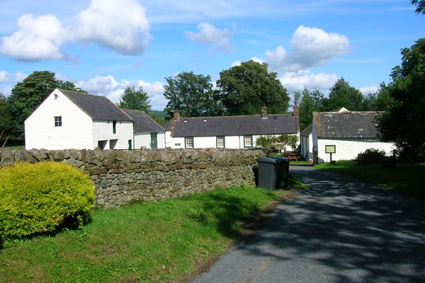
Add your own picture and explain the route, parking, gates, paths or landmarks that help people find it.
Earn 5 points after the picture is checked and accepted.
Add your photo and local directionsShare what you foundWhat is recorded here
In flat terrain with gentle S-facing slope, under grass, the field has been reclaimed. The field was archaeologically tested in compliance with a planning application for the site. During the course of the investigation a spread of decaying stones with charcoal and blackened soil were uncovered, interpreted by the excavator as a fulacht fia (Pollock 1998; Pollock 2000, 194).
Compiled by: Jean Farrelly
Date of upload: 26 August 2011
The monument record does not grant public access. Check the route and ask the landowner before entering private land.