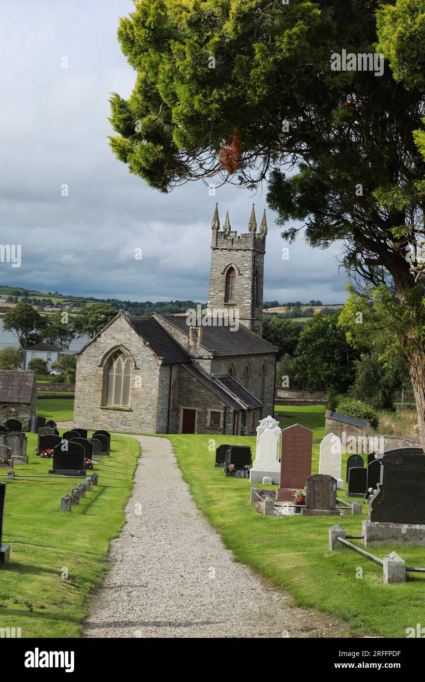
Add your own picture and explain the route, parking, gates, paths or landmarks that help people find it.
Earn 5 points after the picture is checked and accepted.
Add your photo and local directionsShare what you foundWhat is recorded here
On a natural hillock on a W-facing slope. This church was indicated on a map entitled ‘A Map of the Coal District near Killenaule’ by Patrick Leahy, 11th May 1824 [NLI 16.I.17 (1)]. There is a slight rise which may be the location of the church, otherwise there is no visible trace of the church above ground. The landowner had no knowledge of a church in this field.
Compiled by: Jean Farrelly
Date of upload: 05 December 2012
This remains an important historical record, but the official description says the monument is no longer visible or has been destroyed.
The monument record does not grant public access. Check the route and ask the landowner before entering private land.