Add your own picture and explain the route, parking, gates, paths or landmarks that help people find it.
Earn 5 points after the picture is checked and accepted.
Add your photo and local directionsShare what you foundWhat is recorded here
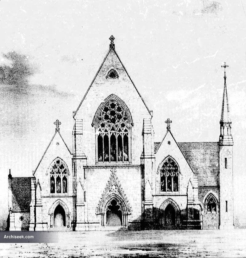
On the S side of River Street, the church is at the highest point of a gentle rise, with the graveyard (TS054-050002-) occupying the slope of the hill to the E and S of the church. A motte and bailey (TS054-050003-) is 173m to the NE. The present church is a 19th-century structure built on the site of an earlier 18th-century church. It was a RC foundation until 1762 and thereafter used for Protestant worship. There was clearly a much earlier church on the site as is suggested by an illustration on the Down Survey map of 1655-8. This is borne out by five medieval architectural fragments including a mullion, two other window fragments and two possible door jambs which were found in the graveyard.
Compiled by: Jean Farrelly
Date of upload: 26 August 2011
The monument record does not grant public access. Check the route and ask the landowner before entering private land.