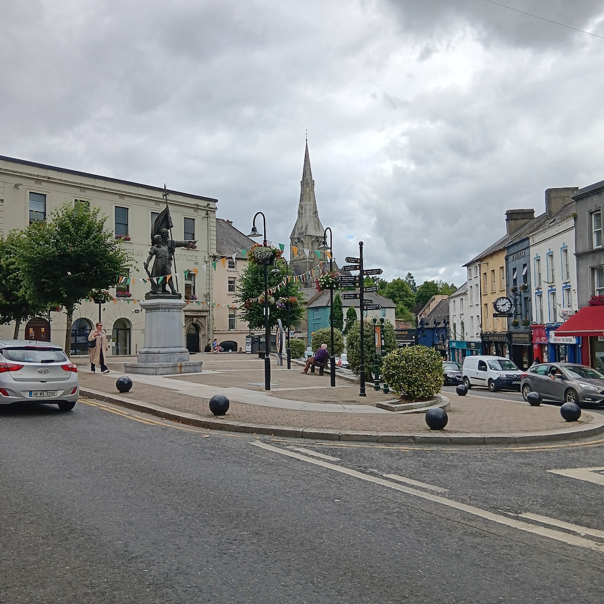
Add your own picture and explain the route, parking, gates, paths or landmarks that help people find it.
Earn 5 points after the picture is checked and accepted.
Add your photo and local directionsShare what you foundWhat is recorded here
In reclaimed grassland on flat pasture in upland area with good views in all directions. Ringfort (TS053-066----) 500m to E. No surface remains visible of enclosure which has been levelled. A sketch plan and sections drawn in 1954 show a roughly oval area (overall diam. 86ft [c. 26m] N-S; 92ft [28m] E-W) enclosed by a bank (OS Field Memorandums). Described in 1982 as a much denuded monument in very poor condition consisting of a circular area enclosed by a bank and outer fosse (Cahill 1982, vol. 2).
Compiled by: Jean Farrelly
Date of upload: 26 August 2011
The monument record does not grant public access. Check the route and ask the landowner before entering private land.